Distance to Bala, Kansas

Calculating Your Route
Just a moment while we process your request...
Location Information
-
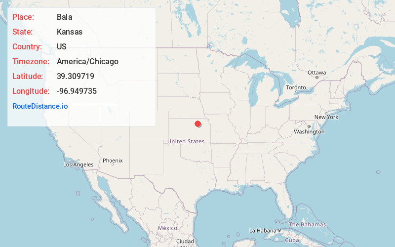
Full AddressBala, KS 66531
-
Coordinates39.3097187, -96.9497353
-
LocationBala , Kansas , US
-
TimezoneAmerica/Chicago
-
Current Local Time5:40:16 PM America/ChicagoFriday, June 20, 2025
-
Page Views0
About Bala
Bala is a census-designated place in Bala Township, Riley County, Kansas, United States. As of the 2020 census, the population was 29.

Nearby Places
Found 10 places within 50 miles

Leonardville
6.2 mi
10.0 km
Leonardville, KS 66449
Get directions

Riley
6.4 mi
10.3 km
Riley, KS 66531
Get directions

Wakefield
7.4 mi
11.9 km
Wakefield, KS 67487
Get directions
Green
8.6 mi
13.8 km
Green, KS 67447
Get directions

Milford
9.5 mi
15.3 km
Milford, KS 66514
Get directions

Clay Center
10.4 mi
16.7 km
Clay Center, KS 67432
Get directions

Randolph
13.1 mi
21.1 km
Randolph, KS 66554
Get directions
Keats
14.2 mi
22.9 km
Keats, KS 66503
Get directions
Morganville
17.3 mi
27.8 km
Morganville, KS 67468
Get directions

Ogden
18.9 mi
30.4 km
Ogden, KS
Get directions
Location Links
Local Weather
Weather Information
Coming soon!
Location Map
Static map view of Bala, Kansas
Browse Places by Distance
Places within specific distances from Bala
Short Distances
Long Distances
Click any distance to see all places within that range from Bala. Distances shown in miles (1 mile ≈ 1.61 kilometers).