Distance to Battle Creek, South Carolina

Calculating Your Route
Just a moment while we process your request...
Location Information
-
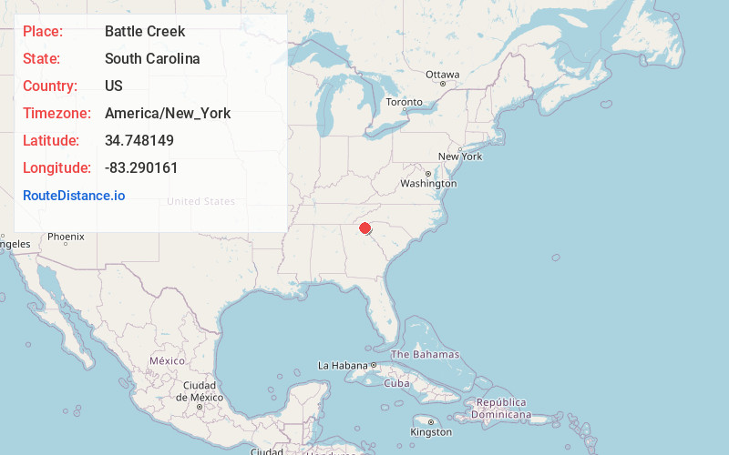
Full AddressBattle Creek, SC 29658
-
Coordinates34.7481491, -83.290161
-
LocationSouth Carolina , US
-
TimezoneAmerica/New_York
-
Current Local Time2:59:31 PM America/New_YorkTuesday, June 24, 2025
-
Page Views0
Nearby Places
Found 10 places within 50 miles

Long Creek
2.5 mi
4.0 km
Long Creek, SC 29658
Get directions

Brasstown
3.0 mi
4.8 km
Brasstown, SC 29693
Get directions

Tallulah Falls
5.9 mi
9.5 km
Tallulah Falls, GA
Get directions

Wiley
8.2 mi
13.2 km
Wiley, GA 30552
Get directions
Whetstone
8.5 mi
13.7 km
Whetstone, SC 29664
Get directions

Turnerville
8.8 mi
14.2 km
Turnerville, GA 30523
Get directions

Tiger
10.6 mi
17.1 km
Tiger, GA 30576
Get directions
Old Madison
10.8 mi
17.4 km
Old Madison, SC 29693
Get directions

Clayton
11.0 mi
17.7 km
Clayton, GA 30525
Get directions
Percival Crossroads
11.0 mi
17.7 km
Percival Crossroads, SC 29693
Get directions
Location Links
Local Weather
Weather Information
Coming soon!
Location Map
Static map view of Battle Creek, South Carolina
Browse Places by Distance
Places within specific distances from Battle Creek
Short Distances
Long Distances
Click any distance to see all places within that range from Battle Creek. Distances shown in miles (1 mile ≈ 1.61 kilometers).