Distance to Box Butte County, Nebraska

Calculating Your Route
Just a moment while we process your request...
Location Information
-
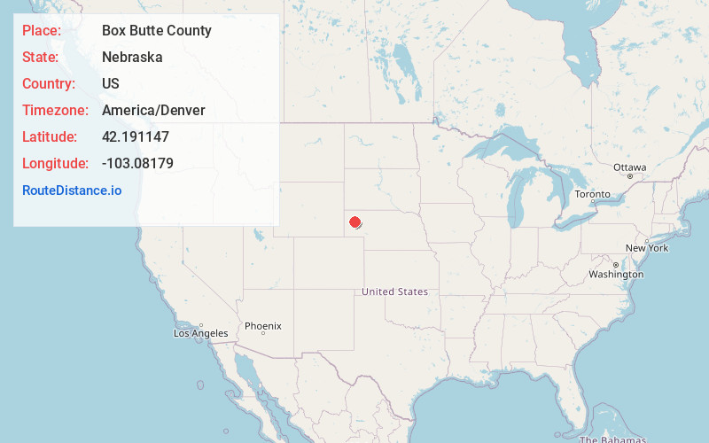
Full AddressBox Butte County, NE
-
Coordinates42.1911471, -103.0817903
-
LocationNebraska , US
-
TimezoneAmerica/Denver
-
Current Local Time12:41:55 AM America/DenverWednesday, June 4, 2025
-
Page Views1
About Box Butte County
Box Butte County is a county in the U.S. state of Nebraska. As of the 2020 United States census, the population was 10,842. Its county seat is Alliance. The county was formed in 1886; it took its name from a large box-shaped butte north of Alliance.


Nearby Places
Found 10 places within 50 miles

Berea
5.3 mi
8.5 km
Berea, NE 69301
Get directions

Hemingford
9.0 mi
14.5 km
Hemingford, NE 69348
Get directions

Alliance
12.8 mi
20.6 km
Alliance, NE 69301
Get directions
Nonpareil
13.5 mi
21.7 km
Nonpareil, Fifteen Precinct, NE 69348
Get directions
Letan
14.2 mi
22.9 km
Letan, Eleven Precinct, NE 69301
Get directions
Bonner
17.7 mi
28.5 km
Bonner, NE 69331
Get directions
Hoffland
23.1 mi
37.2 km
Hoffland, South Sheridan Precinct, NE 69301
Get directions

Angora
23.5 mi
37.8 km
Angora, NE
Get directions
Antioch
26.7 mi
43.0 km
Antioch, NE 69340
Get directions
Perrin
27.5 mi
44.3 km
Perrin, East Bayard Precinct, NE 69334
Get directions
Location Links
Local Weather
Weather Information
Coming soon!
Location Map
Static map view of Box Butte County, Nebraska
Browse Places by Distance
Places within specific distances from Box Butte County
Short Distances
Long Distances
Click any distance to see all places within that range from Box Butte County. Distances shown in miles (1 mile ≈ 1.61 kilometers).