Distance to Burnt Ranch, California

Calculating Your Route
Just a moment while we process your request...
Location Information
-
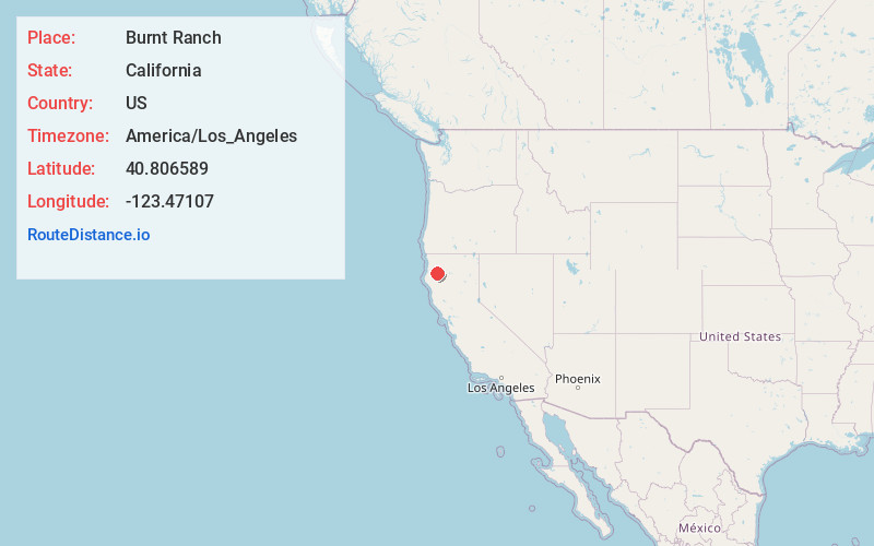
Full AddressBurnt Ranch, CA 95527
-
Coordinates40.8065885, -123.4710696
-
LocationBurnt Ranch , California , US
-
TimezoneAmerica/Los_Angeles
-
Current Local Time3:01:47 AM America/Los_AngelesSunday, June 22, 2025
-
Page Views0
About Burnt Ranch
Burnt Ranch a census-designated place in Trinity County, California. It has a school and a post office. Its ZIP Code is 95527, and it is in area code 530. Its elevation is 1,502 feet. Its population is 250 as of the 2020 census, down from 281 from the 2010 census.


Nearby Places
Found 10 places within 50 miles

Cedar Flat Creek
3.0 mi
4.8 km
Cedar Flat Creek, California 95527
Get directions

Trinity Village
5.2 mi
8.4 km
Trinity Village, CA
Get directions

Salyer
8.3 mi
13.4 km
Salyer, CA 95563
Get directions

Willow Creek
12.4 mi
20.0 km
Willow Creek, CA 95573
Get directions

Hyampom
13.1 mi
21.1 km
Hyampom, CA 96046
Get directions

Hoopa
19.9 mi
32.0 km
Hoopa, CA
Get directions

Junction City
22.4 mi
36.0 km
Junction City, CA
Get directions

Hayfork
23.1 mi
37.2 km
Hayfork, CA 96041
Get directions

Mad River
24.6 mi
39.6 km
Mad River, CA
Get directions

Blue Lake
27.3 mi
43.9 km
Blue Lake, CA
Get directions
Location Links
Local Weather
Weather Information
Coming soon!
Location Map
Static map view of Burnt Ranch, California
Browse Places by Distance
Places within specific distances from Burnt Ranch
Short Distances
Long Distances
Click any distance to see all places within that range from Burnt Ranch. Distances shown in miles (1 mile ≈ 1.61 kilometers).