Distance to Caborn, Indiana

Calculating Your Route
Just a moment while we process your request...
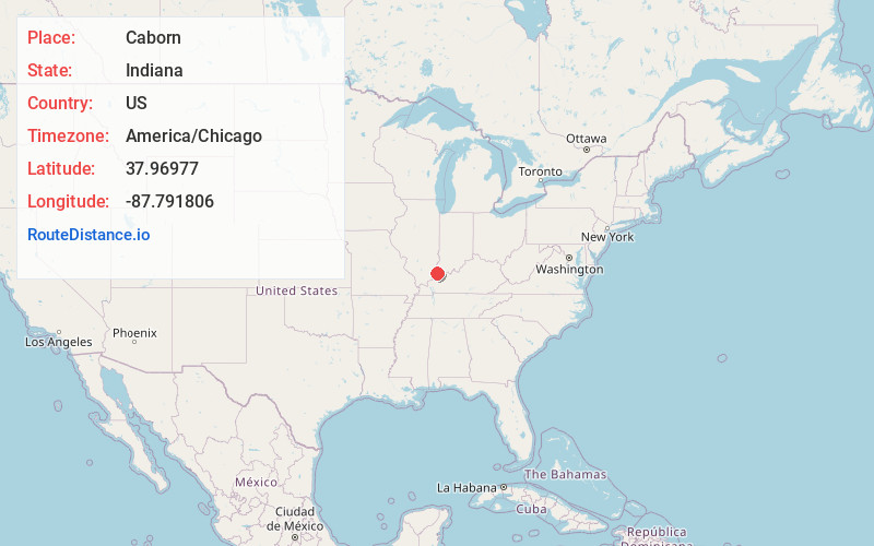
Location Information
-
Full AddressCaborn, IN 47620
-
Coordinates37.9697701, -87.7918056
-
LocationCaborn , Indiana , US
-
TimezoneAmerica/Chicago
-
Current Local Time3:30:14 AM America/ChicagoMonday, May 19, 2025
-
Page Views0
Nearby Places
Found 10 places within 50 miles

Bufkin
3.2 mi
5.1 km
Bufkin, Black Township, IN 47620
Get directions

St Philip
4.3 mi
6.9 km
St Philip, Marrs Township, IN 47620
Get directions

Mt Vernon
6.2 mi
10.0 km
Mt Vernon, IN 47620
Get directions
Solitude
6.6 mi
10.6 km
Solitude, IN 47620
Get directions

Parkers Settlement
6.7 mi
10.8 km
Parkers Settlement, IN
Get directions
Grafton
9.2 mi
14.8 km
Grafton, Black Township, IN 47620
Get directions

Wadesville
9.2 mi
14.8 km
Wadesville, IN
Get directions
Upton
9.2 mi
14.8 km
Upton, Black Township, IN 47620
Get directions
Hovey
9.8 mi
15.8 km
Hovey, Point Township, IN 47620
Get directions
St Wendel
10.8 mi
17.4 km
St Wendel, IN
Get directions
Location Links
Local Weather
Weather Information
Coming soon!
Location Map
Static map view of Caborn, Indiana
Browse Places by Distance
Places within specific distances from Caborn
Short Distances
Long Distances
Click any distance to see all places within that range from Caborn. Distances shown in miles (1 mile ≈ 1.61 kilometers).