Distance to Calneva, California

Calculating Your Route
Just a moment while we process your request...
Location Information
-
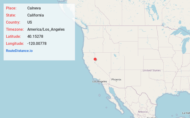
Full AddressCalneva, CA 96109
-
Coordinates40.15278, -120.00778
-
LocationCalneva , California , US
-
TimezoneAmerica/Los_Angeles
-
Current Local Time3:40:06 PM America/Los_AngelesFriday, June 20, 2025
-
Page Views0
About Calneva
Calneva is an unincorporated community in Lassen County, California. It is located 10 miles north-northeast of Doyle, at an elevation of 4009 feet. Calneva is on the Nevada state line—its name is a portmanteau of California and Nevada.
The town was developed in the hope of finding sufficient water to sustain it.

Nearby Places
Found 10 places within 50 miles

Stacy
5.4 mi
8.7 km
Stacy, CA 96136
Get directions

Herlong
6.7 mi
10.8 km
Herlong, CA 96113
Get directions
Patton Village
9.3 mi
15.0 km
Patton Village, CA
Get directions

Doyle
10.1 mi
16.3 km
Doyle, CA 96109
Get directions

Omira
13.3 mi
21.4 km
Omira, CA 96109
Get directions
Zenobia
14.1 mi
22.7 km
Zenobia, NV 89510
Get directions

Sand Pass
14.2 mi
22.9 km
Sand Pass, NV 89510
Get directions

Dry Valley Creek
14.8 mi
23.8 km
Dry Valley Creek, Nevada
Get directions
Pyramid
17.0 mi
27.4 km
Pyramid, NV 89510
Get directions

Wendel
18.0 mi
29.0 km
Wendel, CA 96136
Get directions
Location Links
Local Weather
Weather Information
Coming soon!
Location Map
Static map view of Calneva, California
Browse Places by Distance
Places within specific distances from Calneva
Short Distances
Long Distances
Click any distance to see all places within that range from Calneva. Distances shown in miles (1 mile ≈ 1.61 kilometers).