Distance to and from Camel, Arizona
Camel, AZ 85333
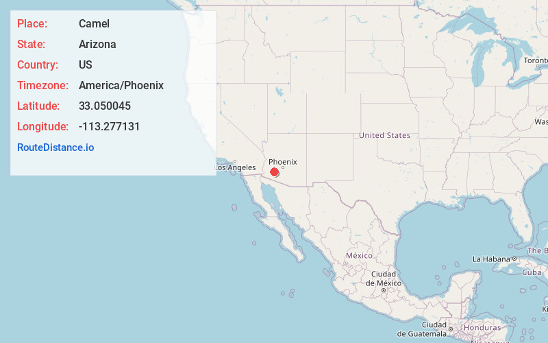
Camel
Arizona
US
America/Phoenix
Location Information
-
Full AddressCamel, AZ 85333
-
Coordinates33.0500453, -113.2771306
-
LocationCamel , Arizona , US
-
TimezoneAmerica/Phoenix
-
Current Local Time2:36:41 PM America/PhoenixSunday, May 4, 2025
-
Page Views0
Directions to Nearest Cities
Nearby Places
Found 10 places within 50 miles

Hyder
4.7 mi
7.6 km
Hyder, AZ 85333
Get directions

Sundad
9.4 mi
15.1 km
Sundad, AZ 85333
Get directions

Horn
15.0 mi
24.1 km
Horn, AZ 85333
Get directions
Tartron
15.7 mi
25.3 km
Tartron, AZ
Get directions

Aztec
18.7 mi
30.1 km
Aztec, AZ 85333
Get directions

Dateland
23.2 mi
37.3 km
Dateland, AZ 85333
Get directions
Theba
24.1 mi
38.8 km
Theba, AZ 85337
Get directions
Crag
27.8 mi
44.7 km
Crag, AZ 85322
Get directions
Stoval
28.1 mi
45.2 km
Stoval, AZ 85347
Get directions
Point of Rocks
30.3 mi
48.8 km
Point of Rocks, AZ 85322
Get directions
Hyder
4.7 mi
7.6 km
Hyder, AZ 85333
Sundad
9.4 mi
15.1 km
Sundad, AZ 85333
Horn
15.0 mi
24.1 km
Horn, AZ 85333
Tartron
15.7 mi
25.3 km
Tartron, AZ
Aztec
18.7 mi
30.1 km
Aztec, AZ 85333
Dateland
23.2 mi
37.3 km
Dateland, AZ 85333
Theba
24.1 mi
38.8 km
Theba, AZ 85337
Crag
27.8 mi
44.7 km
Crag, AZ 85322
Stoval
28.1 mi
45.2 km
Stoval, AZ 85347
Point of Rocks
30.3 mi
48.8 km
Point of Rocks, AZ 85322
Location Links
Local Weather
Weather Information
Coming soon!
Location Map
Static map view of Camel, Arizona
Browse Places by Distance
Places within specific distances from Camel
Short Distances
Long Distances
Click any distance to see all places within that range from Camel. Distances shown in miles (1 mile ≈ 1.61 kilometers).