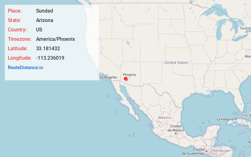
Distance to Sundad, Arizona

Calculating Your Route
Just a moment while we process your request...
Location Information
-
Full AddressSundad, AZ 85333
-
Coordinates33.1814316, -113.2360194
-
LocationSundad , Arizona , US
-
TimezoneAmerica/Phoenix
-
Current Local Time12:57:38 AM America/PhoenixThursday, June 19, 2025
-
Page Views0
About Sundad
Sundad is an unincorporated area in the far west of Maricopa County, Arizona, United States, along the border of Yuma County. It has an estimated elevation of 965 feet above sea level. It is located north of Agua Caliente and east of Sacation Flats.
The Bureau of Land Management considers Sundad a historic site.


Nearby Places
Found 10 places within 50 miles

Crag
21.0 mi
33.8 km
Crag, AZ 85322
Get directions

Wintersburg
26.9 mi
43.3 km
Wintersburg, AZ 85354
Get directions
Theba
27.0 mi
43.5 km
Theba, AZ 85337
Get directions

Gillespie Dam
27.2 mi
43.8 km
Gillespie Dam, Arlington, AZ 85322
Get directions

Tonopah
27.6 mi
44.4 km
Tonopah, AZ 85354
Get directions

Aztec
27.8 mi
44.7 km
Aztec, AZ 85333
Get directions

Arlington
29.1 mi
46.8 km
Arlington, AZ 85322
Get directions
Hassayampa
31.7 mi
51.0 km
Hassayampa, AZ 85326
Get directions

Dateland
31.9 mi
51.3 km
Dateland, AZ 85333
Get directions
San Lucy Village
33.6 mi
54.1 km
San Lucy Village, AZ 85337
Get directions
Location Links
Local Weather
Weather Information
Coming soon!
Location Map
Static map view of Sundad, Arizona
Browse Places by Distance
Places within specific distances from Sundad
Short Distances
Long Distances
Click any distance to see all places within that range from Sundad. Distances shown in miles (1 mile ≈ 1.61 kilometers).