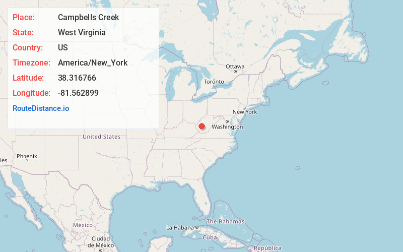
Distance to Campbells Creek, West Virginia

Calculating Your Route
Just a moment while we process your request...
Location Information
-
Full AddressCampbells Creek, Charleston, WV 25311
-
Coordinates38.316766, -81.5628988
-
LocationCharleston , West Virginia , US
-
TimezoneAmerica/New_York
-
Current Local Time2:18:53 PM America/New_YorkTuesday, July 1, 2025
-
Page Views0


Nearby Places
Found 10 places within 50 miles

Malden
1.2 mi
1.9 km
Malden, WV 25306
Get directions

Blackhawk
1.7 mi
2.7 km
Blackhawk, Charleston, WV 25311
Get directions
Riverview
2.2 mi
3.5 km
Riverview, Charleston, WV 25311
Get directions

Coal Fork
2.3 mi
3.7 km
Coal Fork, WV 25306
Get directions
Rand
2.4 mi
3.9 km
Rand, WV 25306
Get directions
Dupont City
3.6 mi
5.8 km
Dupont City, WV 25015
Get directions
Tad
3.9 mi
6.3 km
Tad, WV 25306
Get directions
Lower Belle
4.4 mi
7.1 km
Lower Belle, WV 25015
Get directions

Charleston
4.4 mi
7.1 km
Charleston, WV
Get directions

Marmet
4.9 mi
7.9 km
Marmet, WV
Get directions
Location Links
Local Weather
Weather Information
Coming soon!
Location Map
Static map view of Campbells Creek, West Virginia
Browse Places by Distance
Places within specific distances from Campbells Creek
Short Distances
Long Distances
Click any distance to see all places within that range from Campbells Creek. Distances shown in miles (1 mile ≈ 1.61 kilometers).