Distance to Tad, West Virginia

Calculating Your Route
Just a moment while we process your request...
Location Information
-
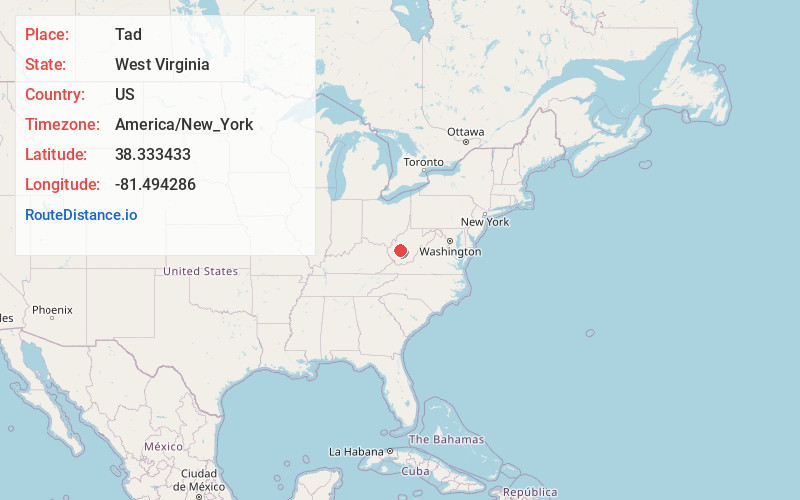
Full AddressTad, WV 25306
-
Coordinates38.3334333, -81.4942863
-
LocationTad , West Virginia , US
-
TimezoneAmerica/New_York
-
Current Local Time5:52:23 AM America/New_YorkWednesday, June 18, 2025
-
Page Views0
About Tad
Tad is an unincorporated community in Kanawha County, West Virginia, United States. Tad is 7.5 miles east of Charleston. Tad has a post office with ZIP code 25201.
An early postmaster gave the community the name of his son, Talmadge "Tad" Dunlap.
Nearby Places
Found 10 places within 50 miles

Fivemile
1.2 mi
1.9 km
Fivemile, WV 25306
Get directions
Cinco
1.5 mi
2.4 km
Cinco, WV 25306
Get directions

Coal Fork
1.8 mi
2.9 km
Coal Fork, WV 25306
Get directions

Malden
4.1 mi
6.6 km
Malden, WV 25306
Get directions
Blackhawk
5.0 mi
8.0 km
Blackhawk, Charleston, WV 25311
Get directions
Rand
5.1 mi
8.2 km
Rand, WV 25306
Get directions
Bream
5.2 mi
8.4 km
Bream, WV 25071
Get directions

Pinch
5.2 mi
8.4 km
Pinch, WV 25071
Get directions
Big Chimney
5.5 mi
8.9 km
Big Chimney, WV
Get directions
Riverview
5.5 mi
8.9 km
Riverview, Charleston, WV 25311
Get directions
Location Links
Local Weather
Weather Information
Coming soon!
Location Map
Static map view of Tad, West Virginia
Browse Places by Distance
Places within specific distances from Tad
Short Distances
Long Distances
Click any distance to see all places within that range from Tad. Distances shown in miles (1 mile ≈ 1.61 kilometers).