Distance to Canebrake, California

Calculating Your Route
Just a moment while we process your request...
Location Information
-
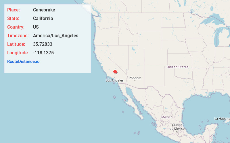
Full AddressCanebrake, CA 93255
-
Coordinates35.72833, -118.1375
-
LocationCanebrake , California , US
-
TimezoneAmerica/Los_Angeles
-
Current Local Time1:55:04 AM America/Los_AngelesWednesday, June 4, 2025
-
Page Views1
About Canebrake
Canebrake is an unincorporated community in Kern County, California. It is located along California State Route 178 in the South Fork Valley, 5.3 miles east-northeast of Onyx at an elevation of 3,031 feet.

Nearby Places
Found 10 places within 50 miles

Onyx
5.4 mi
8.7 km
Onyx, CA
Get directions

Weldon
9.6 mi
15.4 km
Weldon, CA
Get directions

Pearsonville
15.9 mi
25.6 km
Pearsonville, CA 93527
Get directions

Kernville
16.2 mi
26.1 km
Kernville, CA
Get directions

Mountain Mesa
16.3 mi
26.2 km
Mountain Mesa, CA 93240
Get directions

Squirrel Mountain Valley
16.9 mi
27.2 km
Squirrel Mountain Valley, CA 93240
Get directions

Sageland
17.7 mi
28.5 km
Sageland, CA 93283
Get directions

Wofford Heights
17.9 mi
28.8 km
Wofford Heights, CA 93285
Get directions

Inyokern
19.1 mi
30.7 km
Inyokern, CA
Get directions
Moreland Mill
19.5 mi
31.4 km
Moreland Mill, CA 93283
Get directions
Location Links
Local Weather
Weather Information
Coming soon!
Location Map
Static map view of Canebrake, California
Browse Places by Distance
Places within specific distances from Canebrake
Short Distances
Long Distances
Click any distance to see all places within that range from Canebrake. Distances shown in miles (1 mile ≈ 1.61 kilometers).