Distance to Canyon de Chelly National Monument, Arizona

Calculating Your Route
Just a moment while we process your request...
Location Information
-
Full AddressCanyon de Chelly National Monument, Arizona
-
Coordinates36.1190734, -109.3197052
-
LocationArizona , US
-
TimezoneAmerica/Denver
-
Current Local Time6:24:29 PM America/DenverSunday, June 1, 2025
-
Website
-
Page Views0
About Canyon de Chelly National Monument
Expansive park on the Navajo Nation offering tours & overlooks of ruins & famed Spider Rock spire.


Nearby Places
Found 10 places within 50 miles

White Clay
6.8 mi
10.9 km
White Clay, AZ 86504
Get directions

Navajo Nation
8.2 mi
13.2 km
Navajo Nation, New Mexico
Get directions
Del Muerto
8.2 mi
13.2 km
Del Muerto, AZ 86503
Get directions
Lower Wheatfields
11.8 mi
19.0 km
Lower Wheatfields, AZ 86556
Get directions
Milkwater
12.5 mi
20.1 km
Milkwater, AZ 86504
Get directions

Chinle
13.2 mi
21.2 km
Chinle, AZ 86503
Get directions

Wheatfields
13.4 mi
21.6 km
Wheatfields, AZ 86507
Get directions
Sehili
13.7 mi
22.0 km
Sehili, AZ
Get directions

Tsaile
14.0 mi
22.5 km
Tsaile, AZ
Get directions
Upper Wheatfields
15.2 mi
24.5 km
Upper Wheatfields, AZ 86556
Get directions
Location Links
Local Weather
Weather Information
Coming soon!
Location Map
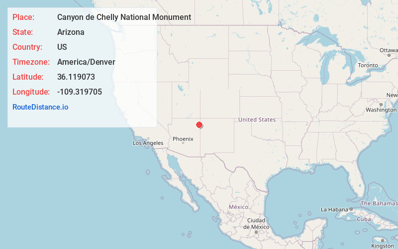
Static map view of Canyon de Chelly National Monument, Arizona
Browse Places by Distance
Places within specific distances from Canyon de Chelly National Monument
Short Distances
Long Distances
Click any distance to see all places within that range from Canyon de Chelly National Monument. Distances shown in miles (1 mile ≈ 1.61 kilometers).