Distance to Carney, Oklahoma

Calculating Your Route
Just a moment while we process your request...
Location Information
-
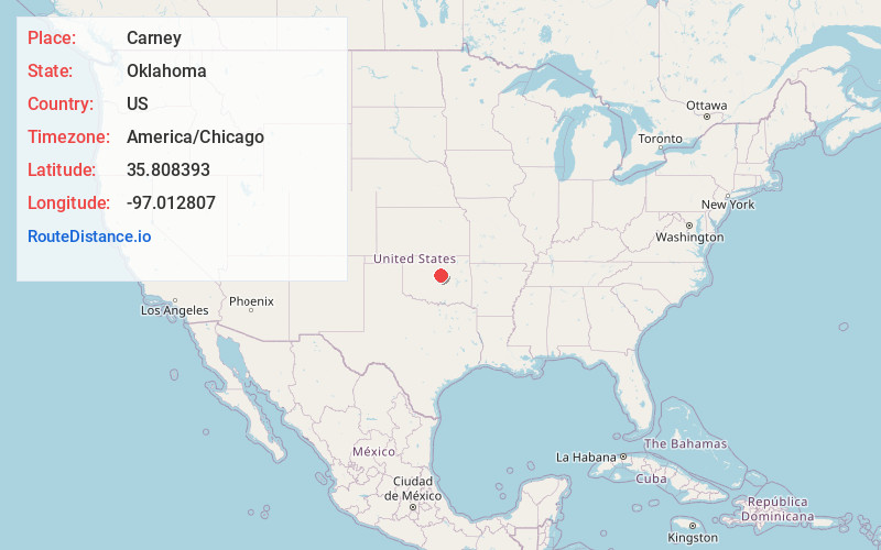
Full AddressCarney, OK 74832
-
Coordinates35.8083932, -97.012807
-
LocationCarney , Oklahoma , US
-
TimezoneAmerica/Chicago
-
Current Local Time10:27:31 PM America/ChicagoSunday, June 1, 2025
-
Page Views0
About Carney
Carney is a town in Lincoln County, Oklahoma, United States. As of the 2020 census, the population of the town was 545.


Nearby Places
Found 10 places within 50 miles

Wellston
8.4 mi
13.5 km
Wellston, OK 74881
Get directions

Agra
9.9 mi
15.9 km
Agra, OK 74824
Get directions

Chandler
10.4 mi
16.7 km
Chandler, OK 74834
Get directions

Perkins
11.5 mi
18.5 km
Perkins, OK 74059
Get directions

Luther
14.4 mi
23.2 km
Luther, OK 73054
Get directions

Davenport
15.6 mi
25.1 km
Davenport, OK 74026
Get directions

Coyle
16.1 mi
25.9 km
Coyle, OK 73027
Get directions

Langston
16.5 mi
26.6 km
Langston, OK
Get directions

Cushing
18.4 mi
29.6 km
Cushing, OK 74023
Get directions

Stroud
20.3 mi
32.7 km
Stroud, OK
Get directions
Location Links
Local Weather
Weather Information
Coming soon!
Location Map
Static map view of Carney, Oklahoma
Browse Places by Distance
Places within specific distances from Carney
Short Distances
Long Distances
Click any distance to see all places within that range from Carney. Distances shown in miles (1 mile ≈ 1.61 kilometers).