Distance to Cedar Creek, South Carolina

Calculating Your Route
Just a moment while we process your request...
Location Information
-
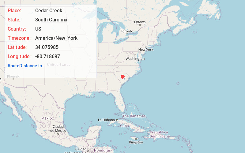
Full AddressCedar Creek, SC 29078
-
Coordinates34.0759848, -80.7186966
-
LocationCedar Creek , South Carolina , US
-
TimezoneAmerica/New_York
-
Current Local Time11:19:01 AM America/New_YorkFriday, May 30, 2025
-
Page Views0
Nearby Places
Found 10 places within 50 miles

Leesburg
4.2 mi
6.8 km
Leesburg, Columbia, SC 29044
Get directions

Elgin
7.9 mi
12.7 km
Elgin, SC 29045
Get directions
Boykin
8.3 mi
13.4 km
Boykin, SC 29128
Get directions
Hagood
8.5 mi
13.7 km
Hagood, SC 29128
Get directions
Horatio
9.5 mi
15.3 km
Horatio, SC 29128
Get directions

Lugoff
10.6 mi
17.1 km
Lugoff, SC
Get directions

Rembert
10.7 mi
17.2 km
Rembert, SC 29128
Get directions
Ellerbees Mill
10.7 mi
17.2 km
Ellerbees Mill, SC 29128
Get directions
Dinkins Mill
10.8 mi
17.4 km
Dinkins Mill, SC 29128
Get directions
Horrel Hill
11.1 mi
17.9 km
Horrel Hill, SC 29061
Get directions
Location Links
Local Weather
Weather Information
Coming soon!
Location Map
Static map view of Cedar Creek, South Carolina
Browse Places by Distance
Places within specific distances from Cedar Creek
Short Distances
Long Distances
Click any distance to see all places within that range from Cedar Creek. Distances shown in miles (1 mile ≈ 1.61 kilometers).