Distance to Cedarville, West Virginia

Calculating Your Route
Just a moment while we process your request...
Location Information
-
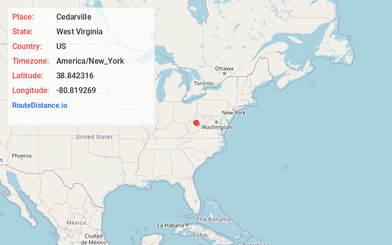
Full AddressCedarville, WV 26611
-
Coordinates38.8423156, -80.8192688
-
LocationCedarville , West Virginia , US
-
TimezoneAmerica/New_York
-
Current Local Time11:15:12 PM America/New_YorkFriday, May 23, 2025
-
Page Views0
About Cedarville
Cedarville is an unincorporated community in Gilmer County, West Virginia, United States. Cedarville is 6.5 miles south of Glenville, along Cedar Creek, from which the community takes its name. Cedarville has a post office that is no longer active with ZIP code 26611.
Nearby Places
Found 10 places within 50 miles

Flower
2.6 mi
4.2 km
Flower, WV 26611
Get directions
Copen
4.8 mi
7.7 km
Copen, WV 26615
Get directions
Cutlips
5.1 mi
8.2 km
Cutlips, WV 26619
Get directions
Bower
5.5 mi
8.9 km
Bower, WV 26615
Get directions
Gilmer
6.1 mi
9.8 km
Gilmer, WV 26351
Get directions
Sand Fork
6.2 mi
10.0 km
Sand Fork, WV
Get directions
Normantown
6.3 mi
10.1 km
Normantown, WV 25267
Get directions

Glenville
6.4 mi
10.3 km
Glenville, WV 26351
Get directions
Chapel
6.6 mi
10.6 km
Chapel, WV 26624
Get directions
Perkins
7.0 mi
11.3 km
Perkins, WV 26636
Get directions
Location Links
Local Weather
Weather Information
Coming soon!
Location Map
Static map view of Cedarville, West Virginia
Browse Places by Distance
Places within specific distances from Cedarville
Short Distances
Long Distances
Click any distance to see all places within that range from Cedarville. Distances shown in miles (1 mile ≈ 1.61 kilometers).