Distance to Cerbat, Arizona

Calculating Your Route
Just a moment while we process your request...
Location Information
-
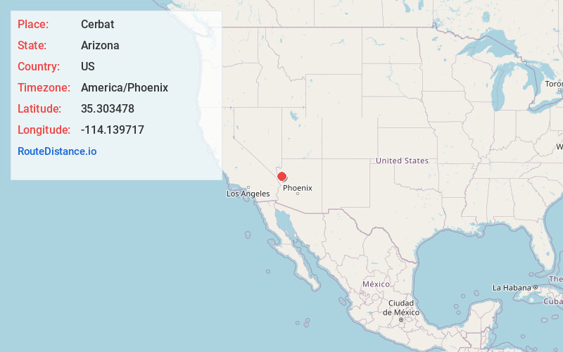
Full AddressCerbat, AZ 86413
-
Coordinates35.303478, -114.139717
-
LocationCerbat , Arizona , US
-
TimezoneAmerica/Phoenix
-
Current Local Time6:21:05 AM America/PhoenixMonday, June 23, 2025
-
Page Views0
About Cerbat
Cerbat is a ghost town just west of the Cerbat Mountains in Mohave County, Arizona, United States. Mining in the area began in the late 1860s and a camp was established soon after. Cerbat was built in a canyon 38 miles from Hardyville.

Nearby Places
Found 10 places within 50 miles

Golden Valley
7.3 mi
11.7 km
Golden Valley, AZ 86413
Get directions

New Kingman-Butler
7.5 mi
12.1 km
New Kingman-Butler, AZ 86409
Get directions

Chloride
8.3 mi
13.4 km
Chloride, AZ
Get directions

Kingman
9.2 mi
14.8 km
Kingman, AZ
Get directions

McConnico
11.3 mi
18.2 km
McConnico, AZ
Get directions

Griffith
16.4 mi
26.4 km
Griffith, AZ 86401
Get directions

Dolan Springs
21.2 mi
34.1 km
Dolan Springs, AZ 86441
Get directions

Oatman
23.6 mi
38.0 km
Oatman, AZ
Get directions

Hackberry
23.7 mi
38.1 km
Hackberry, AZ 86411
Get directions

Katherine Landing
24.8 mi
39.9 km
Katherine Landing, Katherine, AZ 86429
Get directions
Location Links
Local Weather
Weather Information
Coming soon!
Location Map
Static map view of Cerbat, Arizona
Browse Places by Distance
Places within specific distances from Cerbat
Short Distances
Long Distances
Click any distance to see all places within that range from Cerbat. Distances shown in miles (1 mile ≈ 1.61 kilometers).