Distance to Clay Village, Kentucky

Calculating Your Route
Just a moment while we process your request...
Location Information
-
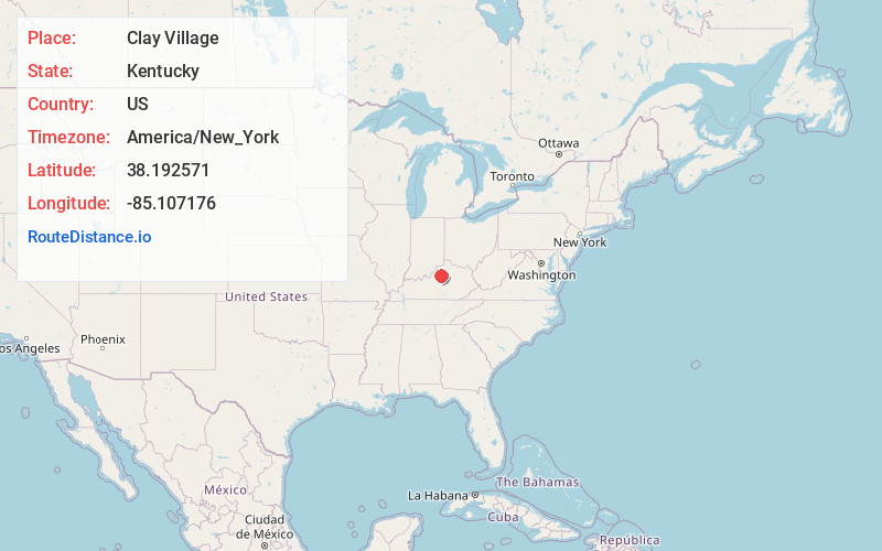
Full AddressClay Village, KY 40065
-
Coordinates38.1925706, -85.1071762
-
LocationKentucky , US
-
TimezoneAmerica/New_York
-
Current Local Time11:23:44 AM America/New_YorkFriday, June 20, 2025
-
Page Views0
About Clay Village
Clay Village is an unincorporated community within Shelby County, Kentucky, United States. It was also known as Shytown. Their post office is closed.
Nearby Places
Found 10 places within 50 miles

Hooper
3.0 mi
4.8 km
Hooper, KY 40065
Get directions
Hemp Ridge
3.1 mi
5.0 km
Hemp Ridge, KY 40076
Get directions

Waddy
4.2 mi
6.8 km
Waddy, KY 40076
Get directions
Veachland
5.1 mi
8.2 km
Veachland, KY 40065
Get directions
Mulberry
5.2 mi
8.4 km
Mulberry, KY 40065
Get directions

Bagdad
5.5 mi
8.9 km
Bagdad, KY 40003
Get directions
Consolation
5.6 mi
9.0 km
Consolation, KY 40003
Get directions
Graefenburg
5.7 mi
9.2 km
Graefenburg, KY 40076
Get directions
Christianburg
5.9 mi
9.5 km
Christianburg, KY 40065
Get directions

Shelbyville
6.2 mi
10.0 km
Shelbyville, KY 40065
Get directions
Location Links
Local Weather
Weather Information
Coming soon!
Location Map
Static map view of Clay Village, Kentucky
Browse Places by Distance
Places within specific distances from Clay Village
Short Distances
Long Distances
Click any distance to see all places within that range from Clay Village. Distances shown in miles (1 mile ≈ 1.61 kilometers).