Distance to Waddy, Kentucky

Calculating Your Route
Just a moment while we process your request...
Location Information
-
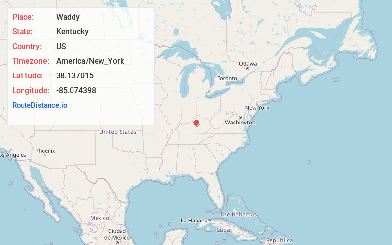
Full AddressWaddy, KY 40076
-
Coordinates38.1370153, -85.0743978
-
LocationWaddy , Kentucky , US
-
TimezoneAmerica/New_York
-
Current Local Time6:07:06 AM America/New_YorkMonday, June 16, 2025
-
Page Views0
About Waddy
Waddy is an unincorporated community within Shelby County, Kentucky, United States. This place lies along the intersection of Kentucky Routes 395 and 2867, approximately one mile south of Interstate 64 off exit 43. Although it is an unincorporated town, it has a post office with the ZIP code 40076.

Nearby Places
Found 10 places within 50 miles

Hemp Ridge
2.5 mi
4.0 km
Hemp Ridge, KY 40076
Get directions
Graefenburg
3.6 mi
5.8 km
Graefenburg, KY 40076
Get directions
Junte
4.1 mi
6.6 km
Junte, KY 40076
Get directions
Hooper
5.2 mi
8.4 km
Hooper, KY 40065
Get directions
Gee
6.4 mi
10.3 km
Gee, KY 40342
Get directions
Bridgeport
7.0 mi
11.3 km
Bridgeport, KY 40601
Get directions

Benson
7.9 mi
12.7 km
Benson, KY 40601
Get directions
Wayside
7.9 mi
12.7 km
Wayside, KY 40046
Get directions
Evergreen
8.1 mi
13.0 km
Evergreen, KY 40601
Get directions
Alton Station
8.3 mi
13.4 km
Alton Station, KY 40342
Get directions
Location Links
Local Weather
Weather Information
Coming soon!
Location Map
Static map view of Waddy, Kentucky
Browse Places by Distance
Places within specific distances from Waddy
Short Distances
Long Distances
Click any distance to see all places within that range from Waddy. Distances shown in miles (1 mile ≈ 1.61 kilometers).