Distance to Cope, South Carolina

Calculating Your Route
Just a moment while we process your request...
Location Information
-
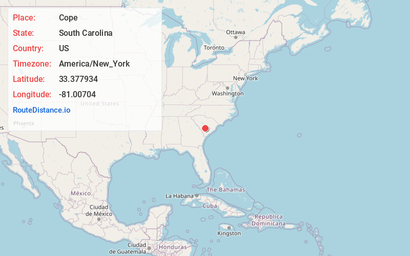
Full AddressCope, SC 29038
-
Coordinates33.3779336, -81.0070403
-
LocationCope , South Carolina , US
-
TimezoneAmerica/New_York
-
Current Local Time6:04:36 PM America/New_YorkSaturday, May 31, 2025
-
Page Views0
About Cope
Cope is a town in Orangeburg County, South Carolina, United States. The population was 37 at the 2020 census, a decline from 77 in 2010, making it the least populous town in South Carolina.


Nearby Places
Found 10 places within 50 miles

Bamberg
5.8 mi
9.3 km
Bamberg, SC 29003
Get directions

Cordova
6.4 mi
10.3 km
Cordova, SC 29039
Get directions

Norway
8.5 mi
13.7 km
Norway, SC 29113
Get directions

Denmark
8.7 mi
14.0 km
Denmark, SC 29042
Get directions
Rowesville
9.8 mi
15.8 km
Rowesville, SC 29133
Get directions

Orangeburg
11.8 mi
19.0 km
Orangeburg, SC
Get directions

Neeses
12.6 mi
20.3 km
Neeses, SC
Get directions
Wilkinson Heights
13.0 mi
20.9 km
Wilkinson Heights, SC 29115
Get directions
Livingston
13.7 mi
22.0 km
Livingston, SC 29107
Get directions
Brookdale
13.8 mi
22.2 km
Brookdale, SC 29115
Get directions
Location Links
Local Weather
Weather Information
Coming soon!
Location Map
Static map view of Cope, South Carolina
Browse Places by Distance
Places within specific distances from Cope
Short Distances
Long Distances
Click any distance to see all places within that range from Cope. Distances shown in miles (1 mile ≈ 1.61 kilometers).