Distance to Cora, Oklahoma

Calculating Your Route
Just a moment while we process your request...
Location Information
-
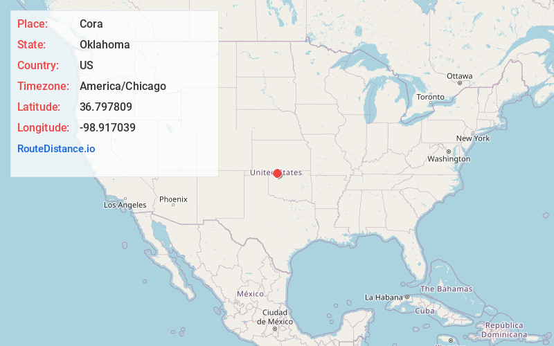
Full AddressCora, OK 73860
-
Coordinates36.797809, -98.917039
-
LocationOklahoma , US
-
TimezoneAmerica/Chicago
-
Current Local Time10:45:33 PM America/ChicagoSaturday, June 21, 2025
-
Page Views0
Nearby Places
Found 10 places within 50 miles

Tegarden
2.9 mi
4.7 km
Tegarden, OK 73860
Get directions
Fairvalley
7.3 mi
11.7 km
Fairvalley, OK 73842
Get directions

Avard
9.8 mi
15.8 km
Avard, OK 73717
Get directions

Woods County
10.8 mi
17.4 km
Woods County, OK
Get directions
Noel
11.0 mi
17.7 km
Noel, OK 73717
Get directions

Freedom
11.0 mi
17.7 km
Freedom, OK 73842
Get directions

Alva
13.9 mi
22.4 km
Alva, OK 73717
Get directions
Waynoka
15.0 mi
24.1 km
Waynoka, OK 73860
Get directions

Hopeton
15.8 mi
25.4 km
Hopeton, OK 73717
Get directions
Edith
16.3 mi
26.2 km
Edith, OK 73842
Get directions
Location Links
Local Weather
Weather Information
Coming soon!
Location Map
Static map view of Cora, Oklahoma
Browse Places by Distance
Places within specific distances from Cora
Short Distances
Long Distances
Click any distance to see all places within that range from Cora. Distances shown in miles (1 mile ≈ 1.61 kilometers).