Distance to Tegarden, Oklahoma

Calculating Your Route
Just a moment while we process your request...
Location Information
-
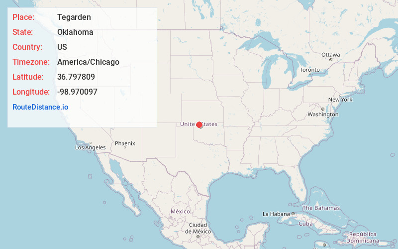
Full AddressTegarden, OK 73860
-
Coordinates36.797809, -98.9700965
-
LocationTegarden , Oklahoma , US
-
TimezoneAmerica/Chicago
-
Current Local Time7:24:12 AM America/ChicagoSaturday, June 28, 2025
-
Page Views0
Nearby Places
Found 10 places within 50 miles

Freedom
8.1 mi
13.0 km
Freedom, OK 73842
Get directions

Avard
12.1 mi
19.5 km
Avard, OK 73717
Get directions

Waynoka
15.7 mi
25.3 km
Waynoka, OK 73860
Get directions

Alva
16.8 mi
27.0 km
Alva, OK 73717
Get directions

Hopeton
18.5 mi
29.8 km
Hopeton, OK 73717
Get directions

Capron
22.8 mi
36.7 km
Capron, OK 73717
Get directions

Hardtner
23.2 mi
37.3 km
Hardtner, KS 67057
Get directions
Quinlan
24.1 mi
38.8 km
Quinlan, OK 73852
Get directions

Dacoma
24.5 mi
39.4 km
Dacoma, OK 73731
Get directions
Ashley
24.6 mi
39.6 km
Ashley, OK 73717
Get directions
Location Links
Local Weather
Weather Information
Coming soon!
Location Map
Static map view of Tegarden, Oklahoma
Browse Places by Distance
Places within specific distances from Tegarden
Short Distances
Long Distances
Click any distance to see all places within that range from Tegarden. Distances shown in miles (1 mile ≈ 1.61 kilometers).