Distance to Cotopaxi, Colorado

Calculating Your Route
Just a moment while we process your request...
Location Information
-
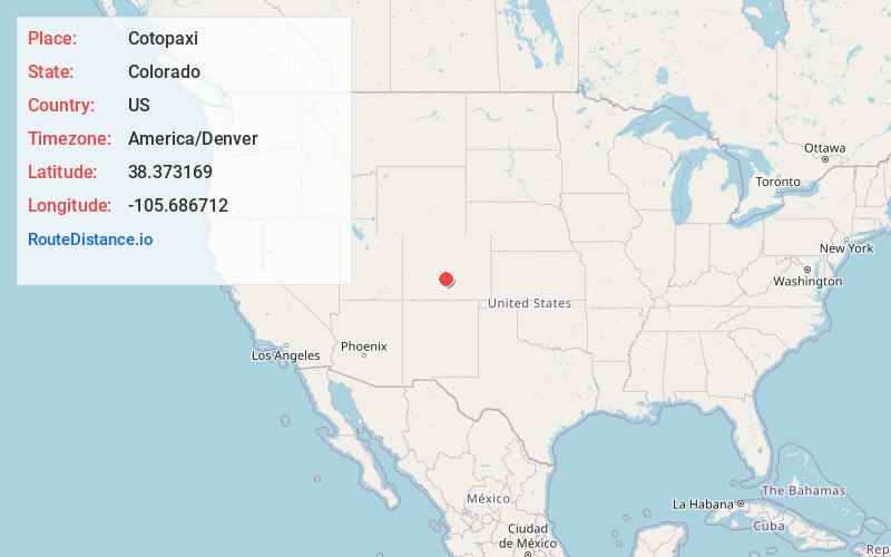
Full AddressCotopaxi, CO 81223
-
Coordinates38.3731692, -105.6867122
-
LocationCotopaxi , Colorado , US
-
TimezoneAmerica/Denver
-
Current Local Time6:03:58 PM America/DenverThursday, June 19, 2025
-
Page Views0
About Cotopaxi
Cotopaxi is an unincorporated town, a post office, and a census-designated place located in and governed by Fremont County, Colorado, United States. The CDP is a part of the Cañon City, CO Micropolitan Statistical Area. The Cotopaxi post office has the ZIP Code 81223.


Nearby Places
Found 10 places within 50 miles

Coaldale
3.9 mi
6.3 km
Coaldale, CO
Get directions

Howard
9.7 mi
15.6 km
Howard, CO
Get directions

Salida
20.2 mi
32.5 km
Salida, CO 81201
Get directions

Westcliffe
20.4 mi
32.8 km
Westcliffe, CO 81252
Get directions

Silver Cliff
21.0 mi
33.8 km
Silver Cliff, CO 81252
Get directions

Smeltertown
21.4 mi
34.4 km
Smeltertown, CO 81201
Get directions

Poncha Springs
23.2 mi
37.3 km
Poncha Springs, CO
Get directions

Crestone
26.0 mi
41.8 km
Crestone, CO
Get directions
Park Center Lateral
26.8 mi
43.1 km
Park Center Lateral, Colorado 81212
Get directions
Brookside
27.0 mi
43.5 km
Brookside, CO 81212
Get directions
Location Links
Local Weather
Weather Information
Coming soon!
Location Map
Static map view of Cotopaxi, Colorado
Browse Places by Distance
Places within specific distances from Cotopaxi
Short Distances
Long Distances
Click any distance to see all places within that range from Cotopaxi. Distances shown in miles (1 mile ≈ 1.61 kilometers).