Distance to Crestone, Colorado

Calculating Your Route
Just a moment while we process your request...
Location Information
-
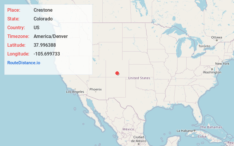
Full AddressCrestone, CO
-
Coordinates37.9963881, -105.6997332
-
LocationCrestone , Colorado , US
-
TimezoneAmerica/Denver
-
Current Local Time12:43:23 AM America/DenverFriday, June 20, 2025
-
Page Views0
About Crestone
The Town of Crestone is a Statutory Town in Saguache County, Colorado. According to the 2020 United States census, the town's population was 141. Crestone is located at the foot of the western slope of the Sangre de Cristo Range, in the northern part of the San Luis Valley.


Nearby Places
Found 10 places within 50 miles

Moffat
11.5 mi
18.5 km
Moffat, CO
Get directions

Westcliffe
15.9 mi
25.6 km
Westcliffe, CO 81252
Get directions

Silver Cliff
16.9 mi
27.2 km
Silver Cliff, CO 81252
Get directions

Hooper
20.0 mi
32.2 km
Hooper, CO
Get directions

Saguache
24.9 mi
40.1 km
Saguache, CO 81149
Get directions

Coaldale
25.7 mi
41.4 km
Coaldale, CO
Get directions

Center
27.9 mi
44.9 km
Center, CO 81125
Get directions

Howard
32.0 mi
51.5 km
Howard, CO
Get directions

Gardner
32.6 mi
52.5 km
Gardner, CO 81040
Get directions
Alamosa East
37.2 mi
59.9 km
Alamosa East, CO 81101
Get directions
Location Links
Local Weather
Weather Information
Coming soon!
Location Map
Static map view of Crestone, Colorado
Browse Places by Distance
Places within specific distances from Crestone
Short Distances
Long Distances
Click any distance to see all places within that range from Crestone. Distances shown in miles (1 mile ≈ 1.61 kilometers).