Distance to Coyote Hole, Nevada

Calculating Your Route
Just a moment while we process your request...
Location Information
-
Full AddressCoyote Hole, NV
-
Coordinates37.7971525, -117.8053757
-
LocationCoyote Hole , Nevada , US
-
TimezoneAmerica/Los_Angeles
-
Current Local Time5:31:32 AM America/Los_AngelesTuesday, June 17, 2025
-
Page Views0
Nearby Places
Found 10 places within 50 miles

Blair
8.6 mi
13.8 km
Blair, NV 89047
Get directions

Silver Peak
9.8 mi
15.8 km
Silver Peak, NV 89047
Get directions

Weepah Nevada Mining Company Mines
16.3 mi
26.2 km
Weepah Nevada Mining Company Mines, Nevada
Get directions

Dyer
16.8 mi
27.0 km
Dyer, NV 89010
Get directions
McLeans
19.2 mi
30.9 km
McLeans, NV
Get directions

Columbus
24.3 mi
39.1 km
Columbus, NV
Get directions
Montezuma
24.7 mi
39.8 km
Montezuma, NV
Get directions

Alkali
25.6 mi
41.2 km
Alkali, NV
Get directions
Gold Hit
27.6 mi
44.4 km
Gold Hit, NV
Get directions

Gemfield
28.2 mi
45.4 km
Gemfield, NV
Get directions
Location Links
Local Weather
Weather Information
Coming soon!
Location Map
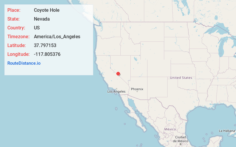
Static map view of Coyote Hole, Nevada
Browse Places by Distance
Places within specific distances from Coyote Hole
Short Distances
Long Distances
Click any distance to see all places within that range from Coyote Hole. Distances shown in miles (1 mile ≈ 1.61 kilometers).