Distance to Croft State Park, South Carolina

Calculating Your Route
Just a moment while we process your request...
Location Information
-
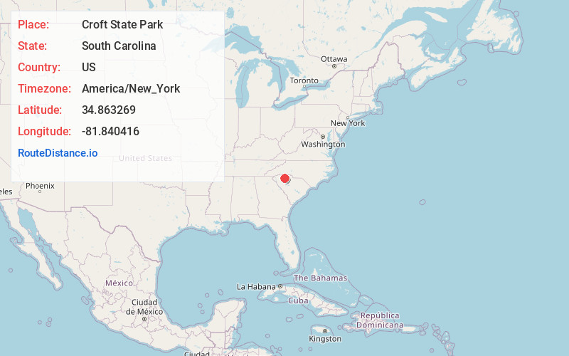
Full AddressCroft State Park, 450 Croft State Park Rd, Spartanburg, SC 29302
-
Coordinates34.8632691, -81.8404157
-
Street450 Croft State Park Rd
-
LocationSpartanburg , South Carolina , US
-
TimezoneAmerica/New_York
-
Current Local Time10:29:50 AM America/New_YorkWednesday, May 21, 2025
-
Website
-
Page Views0
About Croft State Park
This 7,000-acre park boasts 12 miles of hiking & horse trails, 2 lakes & an equestrian center.


Nearby Places
Found 10 places within 50 miles

Foster Mill
0.9 mi
1.4 km
Foster Mill, SC 29302
Get directions
Golightly
2.6 mi
4.2 km
Golightly, SC 29302
Get directions

Pauline
2.8 mi
4.5 km
Pauline, SC
Get directions

Camp Croft
3.4 mi
5.5 km
Camp Croft, SC 29302
Get directions

Glenn Springs
3.5 mi
5.6 km
Glenn Springs, SC
Get directions
Calico
4.0 mi
6.4 km
Calico, SC 29302
Get directions
Kennedy Mill
4.2 mi
6.8 km
Kennedy Mill, SC 29372
Get directions
Stone Station
5.0 mi
8.0 km
Stone Station, SC 29376
Get directions

Pacolet
5.1 mi
8.2 km
Pacolet, SC
Get directions
Ben Avon
5.5 mi
8.9 km
Ben Avon, SC 29302
Get directions
Location Links
Local Weather
Weather Information
Coming soon!
Location Map
Static map view of Croft State Park, South Carolina
Browse Places by Distance
Places within specific distances from Croft State Park
Short Distances
Long Distances
Click any distance to see all places within that range from Croft State Park. Distances shown in miles (1 mile ≈ 1.61 kilometers).