Distance to and from Crowgeys, Virginia
Crowgeys, Wytheville, VA 24382
Wytheville
Virginia
US
America/New_York
Location Information
-
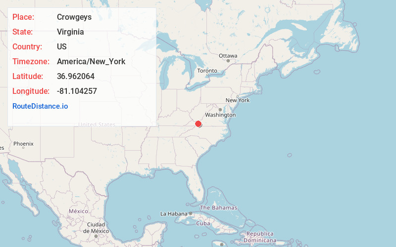
Full AddressCrowgeys, Wytheville, VA 24382
-
Coordinates36.9620636, -81.1042566
-
LocationWytheville , Virginia , US
-
TimezoneAmerica/New_York
-
Current Local Time11:55:28 PM America/New_YorkSunday, May 4, 2025
-
Page Views0
Directions to Nearest Cities
Nearby Places
Found 10 places within 50 miles

Wytheville
1.4 mi
2.3 km
Wytheville, VA 24382
Get directions

Shupe
3.5 mi
5.6 km
Shupe, VA 24382
Get directions
Kindrick
3.7 mi
6.0 km
Kindrick, VA 24382
Get directions
Cline
4.1 mi
6.6 km
Cline, VA 24382
Get directions
Favonia
4.5 mi
7.2 km
Favonia, VA 24382
Get directions
Carnot
5.5 mi
8.9 km
Carnot, VA 24084
Get directions
West Piney
7.5 mi
12.1 km
West Piney, VA 24382
Get directions

Max Meadows
8.6 mi
13.8 km
Max Meadows, VA
Get directions

Fort Chiswell
8.7 mi
14.0 km
Fort Chiswell, VA
Get directions
Eagle Furnace
9.0 mi
14.5 km
Eagle Furnace, VA 24350
Get directions
Wytheville
1.4 mi
2.3 km
Wytheville, VA 24382
Shupe
3.5 mi
5.6 km
Shupe, VA 24382
Kindrick
3.7 mi
6.0 km
Kindrick, VA 24382
Cline
4.1 mi
6.6 km
Cline, VA 24382
Favonia
4.5 mi
7.2 km
Favonia, VA 24382
Carnot
5.5 mi
8.9 km
Carnot, VA 24084
West Piney
7.5 mi
12.1 km
West Piney, VA 24382
Max Meadows
8.6 mi
13.8 km
Max Meadows, VA
Fort Chiswell
8.7 mi
14.0 km
Fort Chiswell, VA
Eagle Furnace
9.0 mi
14.5 km
Eagle Furnace, VA 24350
Location Links
Local Weather
Weather Information
Coming soon!
Location Map
Static map view of Crowgeys, Virginia
Browse Places by Distance
Places within specific distances from Crowgeys
Short Distances
Long Distances
Click any distance to see all places within that range from Crowgeys. Distances shown in miles (1 mile ≈ 1.61 kilometers).