Distance to Culloden, Georgia

Calculating Your Route
Just a moment while we process your request...
Location Information
-
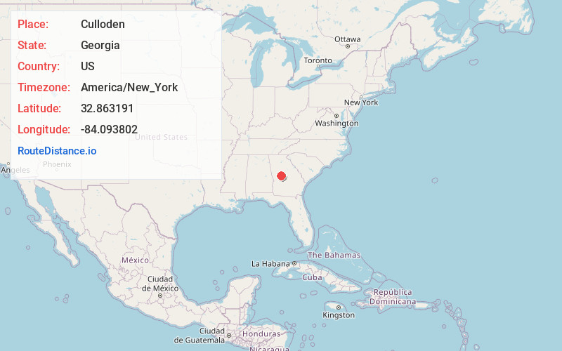
Full AddressCulloden, GA 31016
-
Coordinates32.8631905, -84.0938017
-
LocationCulloden , Georgia , US
-
TimezoneAmerica/New_York
-
Current Local Time8:30:48 PM America/New_YorkFriday, May 30, 2025
-
Page Views0
About Culloden
Culloden is a city in Monroe County, Georgia, United States. The population was 200 in the 2020 census. It is part of the Macon metropolitan statistical area.


Nearby Places
Found 10 places within 50 miles

Yatesville
4.5 mi
7.2 km
Yatesville, GA 31097
Get directions

Salem
9.0 mi
14.5 km
Salem, GA 31016
Get directions

Roberta
10.8 mi
17.4 km
Roberta, GA 31078
Get directions

Thomaston
13.6 mi
21.9 km
Thomaston, GA 30286
Get directions

Barnesville
13.7 mi
22.0 km
Barnesville, GA 30204
Get directions
Lincoln Park
13.7 mi
22.0 km
Lincoln Park, GA 30286
Get directions

Forsyth
14.9 mi
24.0 km
Forsyth, GA 31029
Get directions
Smarr
14.9 mi
24.0 km
Smarr, GA 31029
Get directions

Hannahs Mill
15.6 mi
25.1 km
Hannahs Mill, GA 30286
Get directions
Bolingbroke
17.9 mi
28.8 km
Bolingbroke, GA
Get directions
Location Links
Local Weather
Weather Information
Coming soon!
Location Map
Static map view of Culloden, Georgia
Browse Places by Distance
Places within specific distances from Culloden
Short Distances
Long Distances
Click any distance to see all places within that range from Culloden. Distances shown in miles (1 mile ≈ 1.61 kilometers).