Distance to Dana, Kentucky

Calculating Your Route
Just a moment while we process your request...
Location Information
-
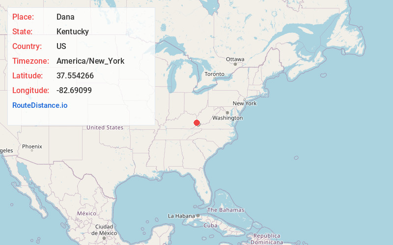
Full AddressDana, KY 41615
-
Coordinates37.5542657, -82.6909903
-
LocationDana , Kentucky , US
-
TimezoneAmerica/New_York
-
Current Local Time10:02:13 PM America/New_YorkTuesday, June 3, 2025
-
Page Views0
About Dana
Dana is an unincorporated community in Floyd County, Kentucky, United States.
Nearby Places
Found 10 places within 50 miles

Stanville
2.8 mi
4.5 km
Stanville, KY 41659
Get directions
Arkansas
3.0 mi
4.8 km
Arkansas, KY 41601
Get directions
Amba
3.1 mi
5.0 km
Amba, KY 41635
Get directions
Banner
3.2 mi
5.1 km
Banner, KY 41603
Get directions

Betsy Layne
3.3 mi
5.3 km
Betsy Layne, KY
Get directions
Hite
3.4 mi
5.5 km
Hite, KY 41649
Get directions

Martin
3.6 mi
5.8 km
Martin, KY
Get directions
Allen City
4.4 mi
7.1 km
Allen City, KY 41601
Get directions

Floyd County
4.8 mi
7.7 km
Floyd County, KY
Get directions
Hunter
4.9 mi
7.9 km
Hunter, KY 41655
Get directions
Location Links
Local Weather
Weather Information
Coming soon!
Location Map
Static map view of Dana, Kentucky
Browse Places by Distance
Places within specific distances from Dana
Short Distances
Long Distances
Click any distance to see all places within that range from Dana. Distances shown in miles (1 mile ≈ 1.61 kilometers).