Distance to Del Loma, California

Calculating Your Route
Just a moment while we process your request...
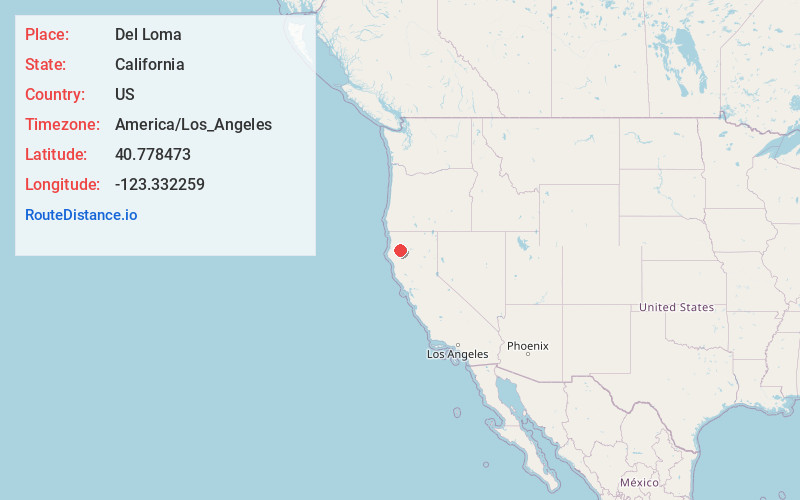
Location Information
-
Full AddressDel Loma, CA 96010
-
Coordinates40.7784734, -123.3322592
-
LocationDel Loma , California , US
-
TimezoneAmerica/Los_Angeles
-
Current Local Time1:21:59 PM America/Los_AngelesTuesday, May 20, 2025
-
Page Views0
About Del Loma
Del Loma is an unincorporated community in Trinity County, California, United States. Del Loma is located on California State Route 299 20.8 miles west of Weaverville. Del Loma is surrounded by steep terrain and dense forest. It sits along the Trinity River near Canadian Bar and Tonys Point.
Nearby Places
Found 10 places within 50 miles

Big Bar
5.0 mi
8.0 km
Big Bar, CA 96010
Get directions

Cedar Flat Creek
5.1 mi
8.2 km
Cedar Flat Creek, California 95527
Get directions

Burnt Ranch
7.5 mi
12.1 km
Burnt Ranch, CA 95527
Get directions
Hoboken
9.0 mi
14.5 km
Hoboken, CA 95563
Get directions

Helena
10.7 mi
17.2 km
Helena, CA 96048
Get directions

Trinity Village
11.7 mi
18.8 km
Trinity Village, CA
Get directions

Denny
11.8 mi
19.0 km
Denny, CA 95527
Get directions

Hyampom
12.9 mi
20.8 km
Hyampom, CA 96046
Get directions

Junction City
14.9 mi
24.0 km
Junction City, CA
Get directions

Salyer
15.3 mi
24.6 km
Salyer, CA 95563
Get directions
Location Links
Local Weather
Weather Information
Coming soon!
Location Map
Static map view of Del Loma, California
Browse Places by Distance
Places within specific distances from Del Loma
Short Distances
Long Distances
Click any distance to see all places within that range from Del Loma. Distances shown in miles (1 mile ≈ 1.61 kilometers).