Distance to Denny, California

Calculating Your Route
Just a moment while we process your request...
Location Information
-
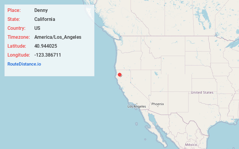
Full AddressDenny, CA 95527
-
Coordinates40.944025, -123.3867111
-
LocationDenny , California , US
-
TimezoneAmerica/Los_Angeles
-
Current Local Time6:52:01 AM America/Los_AngelesWednesday, June 4, 2025
-
Page Views0
About Denny
Denny, California refers to two little mining settlements named Denny in northwestern Trinity County, one in the upper New River watershed within the Trinity Alps Wilderness Area and the other twenty miles downstream along a one-way county roadway. Terrain in the area is extremely steep and rugged.


Nearby Places
Found 10 places within 50 miles

Hoboken
4.9 mi
7.9 km
Hoboken, CA 95563
Get directions

Trinity Village
8.5 mi
13.7 km
Trinity Village, CA
Get directions

Burnt Ranch
10.5 mi
16.9 km
Burnt Ranch, CA 95527
Get directions

Salyer
10.9 mi
17.5 km
Salyer, CA 95563
Get directions
Cedar Flat Creek
11.8 mi
19.0 km
Cedar Flat Creek, California 95527
Get directions

Willow Creek
12.8 mi
20.6 km
Willow Creek, CA 95573
Get directions

Big Bar
15.8 mi
25.4 km
Big Bar, CA 96010
Get directions

Hoopa
16.8 mi
27.0 km
Hoopa, CA
Get directions

Helena
17.9 mi
28.8 km
Helena, CA 96048
Get directions

Trinity Alps
18.1 mi
29.1 km
Trinity Alps, California 96048
Get directions
Location Links
Local Weather
Weather Information
Coming soon!
Location Map
Static map view of Denny, California
Browse Places by Distance
Places within specific distances from Denny
Short Distances
Long Distances
Click any distance to see all places within that range from Denny. Distances shown in miles (1 mile ≈ 1.61 kilometers).