Distance to Derry, Louisiana

Calculating Your Route
Just a moment while we process your request...
Location Information
-
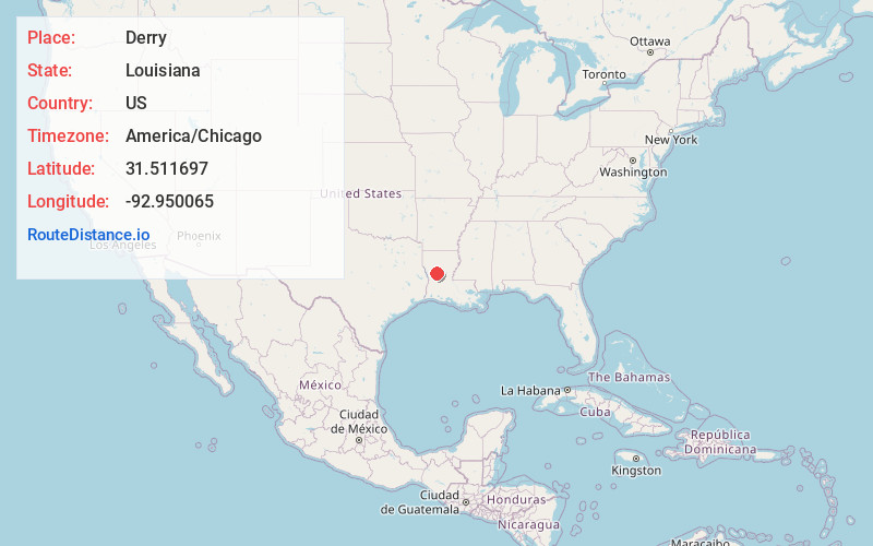
Full AddressDerry, LA
-
Coordinates31.5116969, -92.9500647
-
LocationDerry , Louisiana , US
-
TimezoneAmerica/Chicago
-
Current Local Time1:25:12 AM America/ChicagoFriday, June 20, 2025
-
Page Views0
About Derry
Derry is an unincorporated community in Natchitoches Parish, Louisiana, United States, located on Louisiana Highway 1 near Isle Brevelle.
It is the closest town to Magnolia Plantation, a National Historic Landmark.
Nearby Places
Found 10 places within 50 miles

Sampusand
2.7 mi
4.3 km
Sampusand, LA 71447
Get directions
Cloutierville
2.9 mi
4.7 km
Cloutierville, LA 71416
Get directions
Fern
3.2 mi
5.1 km
Fern, LA 71416
Get directions
Montrose
4.8 mi
7.7 km
Montrose, LA 71416
Get directions
Janie
5.0 mi
8.0 km
Janie, LA 71447
Get directions

Chopin
5.4 mi
8.7 km
Chopin, LA 71447
Get directions
Gorum
5.5 mi
8.9 km
Gorum, LA 71447
Get directions
Melrose
6.1 mi
9.8 km
Melrose, LA 71456
Get directions
Cypress
8.3 mi
13.4 km
Cypress, LA 71457
Get directions
Odra
8.9 mi
14.3 km
Odra, LA 71416
Get directions
Location Links
Local Weather
Weather Information
Coming soon!
Location Map
Static map view of Derry, Louisiana
Browse Places by Distance
Places within specific distances from Derry
Short Distances
Long Distances
Click any distance to see all places within that range from Derry. Distances shown in miles (1 mile ≈ 1.61 kilometers).