Distance to Dola, Ohio

Calculating Your Route
Just a moment while we process your request...
Location Information
-
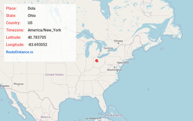
Full AddressDola, OH
-
Coordinates40.7837053, -83.6930515
-
LocationDola , Ohio , US
-
TimezoneAmerica/New_York
-
Current Local Time4:28:38 AM America/New_YorkTuesday, June 3, 2025
-
Page Views0
About Dola
Dola is a census-designated place in central Washington Township, Hardin County, Ohio, United States. As of the 2020 United States Census it had a population of 143. It has a post office with the ZIP code 45835.
Nearby Places
Found 10 places within 50 miles

Dunkirk
2.3 mi
3.7 km
Dunkirk, OH 45836
Get directions

Ada
6.9 mi
11.1 km
Ada, OH 45810
Get directions

Arlington
7.9 mi
12.7 km
Arlington, OH 45814
Get directions

McGuffey
7.9 mi
12.7 km
McGuffey, OH
Get directions

Jenera
8.2 mi
13.2 km
Jenera, OH 45841
Get directions
Patterson
8.8 mi
14.2 km
Patterson, OH 45843
Get directions
Alger
9.5 mi
15.3 km
Alger, OH 45812
Get directions

Forest
9.6 mi
15.4 km
Forest, OH 45843
Get directions

Kenton
10.4 mi
16.7 km
Kenton, OH 43326
Get directions
Mt Blanchard
10.7 mi
17.2 km
Mt Blanchard, OH 45867
Get directions
Location Links
Local Weather
Weather Information
Coming soon!
Location Map
Static map view of Dola, Ohio
Browse Places by Distance
Places within specific distances from Dola
Short Distances
Long Distances
Click any distance to see all places within that range from Dola. Distances shown in miles (1 mile ≈ 1.61 kilometers).