Distance to Doncaster, Maryland

Calculating Your Route
Just a moment while we process your request...
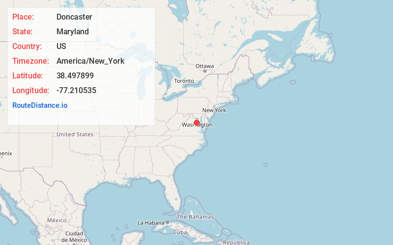
Location Information
-
Full AddressDoncaster, MD 20662
-
Coordinates38.4978994, -77.2105349
-
LocationMaryland , US
-
TimezoneAmerica/New_York
-
Current Local Time7:25:33 PM America/New_YorkMonday, May 19, 2025
-
Page Views0
About Doncaster
Doncaster is an unincorporated community in Charles County, Maryland, United States. Doncaster is located at the junction of Maryland routes 6 and 344, 12.9 miles west of La Plata.
Nearby Places
Found 10 places within 50 miles

Nanjemoy
2.9 mi
4.7 km
Nanjemoy, MD 20662
Get directions

Chicamuxen Creek
3.1 mi
5.0 km
Chicamuxen Creek, Maryland 20640
Get directions
Rison
4.0 mi
6.4 km
Rison, MD 20658
Get directions

Quantico
4.6 mi
7.4 km
Quantico, VA 22134
Get directions
Hill Top
4.8 mi
7.7 km
Hill Top, MD 20646
Get directions
Grayton
4.9 mi
7.9 km
Grayton, MD 20662
Get directions
Cherry Hill
5.8 mi
9.3 km
Cherry Hill, VA 22026
Get directions
Mt Pisgah
5.8 mi
9.3 km
Mt Pisgah, MD 20646
Get directions
Marbury
6.1 mi
9.8 km
Marbury, MD 20658
Get directions
Redhill
6.5 mi
10.5 km
Redhill, MD 20640
Get directions
Location Links
Local Weather
Weather Information
Coming soon!
Location Map
Static map view of Doncaster, Maryland
Browse Places by Distance
Places within specific distances from Doncaster
Short Distances
Long Distances
Click any distance to see all places within that range from Doncaster. Distances shown in miles (1 mile ≈ 1.61 kilometers).