Distance to Dotson, Minnesota

Calculating Your Route
Just a moment while we process your request...
Location Information
-
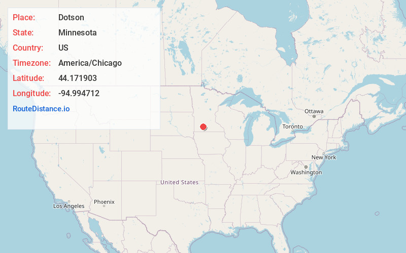
Full AddressDotson, MN 56087
-
Coordinates44.1719029, -94.9947119
-
LocationDotson , Minnesota , US
-
TimezoneAmerica/Chicago
-
Current Local Time5:38:54 PM America/ChicagoFriday, June 6, 2025
-
Page Views0
About Dotson
Dotson is an unincorporated community in Brown County, Minnesota, United States.
Nearby Places
Found 10 places within 50 miles

Springfield
4.7 mi
7.6 km
Springfield, MN 56087
Get directions

Comfrey
6.2 mi
10.0 km
Comfrey, MN 56019
Get directions

Sanborn
7.2 mi
11.6 km
Sanborn, MN 56083
Get directions
Leavenworth
10.2 mi
16.4 km
Leavenworth, MN 56085
Get directions
Cobden
10.7 mi
17.2 km
Cobden, MN 56085
Get directions

Darfur
11.4 mi
18.3 km
Darfur, MN 56120
Get directions
Jeffers
12.8 mi
20.6 km
Jeffers, MN 56145
Get directions
Delft
13.6 mi
21.9 km
Delft, Carson Township, MN 56101
Get directions

Lamberton
14.0 mi
22.5 km
Lamberton, MN 56152
Get directions
Wanda
14.7 mi
23.7 km
Wanda, MN
Get directions
Location Links
Local Weather
Weather Information
Coming soon!
Location Map
Static map view of Dotson, Minnesota
Browse Places by Distance
Places within specific distances from Dotson
Short Distances
Long Distances
Click any distance to see all places within that range from Dotson. Distances shown in miles (1 mile ≈ 1.61 kilometers).