Distance to Dunbar, Oklahoma

Calculating Your Route
Just a moment while we process your request...
Location Information
-
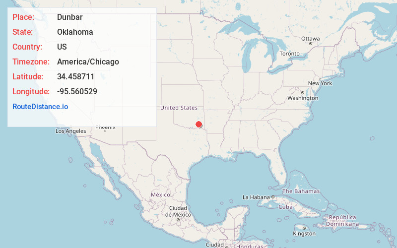
Full AddressDunbar, OK 74536
-
Coordinates34.4587112, -95.560529
-
LocationOklahoma , US
-
TimezoneAmerica/Chicago
-
Current Local Time11:19:16 PM America/ChicagoWednesday, June 18, 2025
-
Page Views0
About Dunbar
Dunbar is a community in Pushmataha County, Oklahoma, United States, 17 miles north of Antlers.
A United States Post Office operated here from May 5, 1925, to January 15, 1956. In its early days, it was a sawmill town in the Indian Territory.
Nearby Places
Found 10 places within 50 miles

Stanley
7.6 mi
12.2 km
Stanley, OK 74536
Get directions

Adel
8.5 mi
13.7 km
Adel, OK 74536
Get directions

Finley
9.7 mi
15.6 km
Finley, OK
Get directions
Moyers
11.0 mi
17.7 km
Moyers, OK
Get directions
Weathers
13.9 mi
22.4 km
Weathers, OK 74536
Get directions
Divide
14.4 mi
23.2 km
Divide, OK 74567
Get directions
Miller
14.4 mi
23.2 km
Miller, OK 74525
Get directions

Clayton
14.9 mi
24.0 km
Clayton, OK 74536
Get directions

Antlers
16.1 mi
25.9 km
Antlers, OK 74523
Get directions
Redden
16.5 mi
26.6 km
Redden, OK 74569
Get directions
Location Links
Local Weather
Weather Information
Coming soon!
Location Map
Static map view of Dunbar, Oklahoma
Browse Places by Distance
Places within specific distances from Dunbar
Short Distances
Long Distances
Click any distance to see all places within that range from Dunbar. Distances shown in miles (1 mile ≈ 1.61 kilometers).