Distance to Dunning, North Dakota

Calculating Your Route
Just a moment while we process your request...
Location Information
-
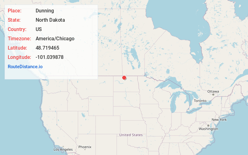
Full AddressDunning, ND 58760
-
Coordinates48.7194654, -101.0398782
-
LocationDunning , North Dakota , US
-
TimezoneAmerica/Chicago
-
Current Local Time2:34:48 AM America/ChicagoWednesday, May 21, 2025
-
Page Views0
Nearby Places
Found 10 places within 50 miles

Maxbass
4.6 mi
7.4 km
Maxbass, ND 58760
Get directions
Newburg
5.8 mi
9.3 km
Newburg, ND 58762
Get directions
Renville
12.2 mi
19.6 km
Renville, ND 58761
Get directions
Westhope
13.2 mi
21.2 km
Westhope, ND 58793
Get directions
Landa
13.6 mi
21.9 km
Landa, ND 58783
Get directions

Kramer
15.3 mi
24.6 km
Kramer, ND 58748
Get directions
Glenburn
16.5 mi
26.6 km
Glenburn, ND 58740
Get directions
Lansford
16.6 mi
26.7 km
Lansford, ND
Get directions
Roth
16.9 mi
27.2 km
Roth, ND 58783
Get directions
Upham
17.1 mi
27.5 km
Upham, ND 58789
Get directions
Location Links
Local Weather
Weather Information
Coming soon!
Location Map
Static map view of Dunning, North Dakota
Browse Places by Distance
Places within specific distances from Dunning
Short Distances
Long Distances
Click any distance to see all places within that range from Dunning. Distances shown in miles (1 mile ≈ 1.61 kilometers).