Distance to Dyer, Arkansas

Calculating Your Route
Just a moment while we process your request...
Location Information
-
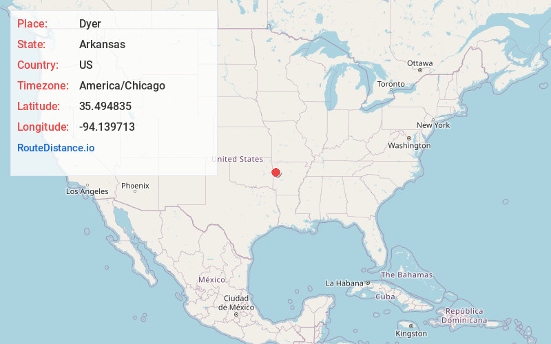
Full AddressDyer, AR
-
Coordinates35.4948351, -94.1397126
-
LocationDyer , Arkansas , US
-
TimezoneAmerica/Chicago
-
Current Local Time1:25:38 AM America/ChicagoTuesday, July 1, 2025
-
Page Views0
About Dyer
Dyer is a city in Crawford County, Arkansas, United States. It is part of the Fort Smith, Arkansas-Oklahoma Metropolitan Statistical Area. The population was 876 at the 2010 census.


Nearby Places
Found 10 places within 50 miles

Alma
4.9 mi
7.9 km
Alma, AR 72921
Get directions

Mulberry
5.0 mi
8.0 km
Mulberry, AR 72947
Get directions

Kibler
6.8 mi
10.9 km
Kibler, AR
Get directions

Lavaca
11.1 mi
17.9 km
Lavaca, AR 72941
Get directions

Van Buren
12.5 mi
20.1 km
Van Buren, AR 72956
Get directions

Cedarville
13.8 mi
22.2 km
Cedarville, AR
Get directions
Charleston
14.7 mi
23.7 km
Charleston, AR 72933
Get directions

Barling
14.8 mi
23.8 km
Barling, AR
Get directions

Fort Smith
17.6 mi
28.3 km
Fort Smith, AR
Get directions

Ozark
17.6 mi
28.3 km
Ozark, AR 72949
Get directions
Location Links
Local Weather
Weather Information
Coming soon!
Location Map
Static map view of Dyer, Arkansas
Browse Places by Distance
Places within specific distances from Dyer
Short Distances
Long Distances
Click any distance to see all places within that range from Dyer. Distances shown in miles (1 mile ≈ 1.61 kilometers).