Distance to Ebenezer, Arkansas

Calculating Your Route
Just a moment while we process your request...
Location Information
-
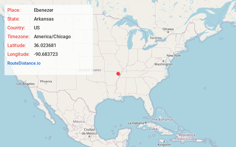
Full AddressEbenezer, AR 72450
-
Coordinates36.0236813, -90.6837231
-
LocationEbenezer , Arkansas , US
-
TimezoneAmerica/Chicago
-
Current Local Time8:59:44 AM America/ChicagoFriday, June 6, 2025
-
Page Views0
Nearby Places
Found 10 places within 50 miles

Walcott
1.5 mi
2.4 km
Walcott, AR 72450
Get directions

Lorado
3.0 mi
4.8 km
Lorado, AR 72401
Get directions
Finch
3.3 mi
5.3 km
Finch, AR 72450
Get directions
Light
4.8 mi
7.7 km
Light, AR 72412
Get directions
Stanford
5.2 mi
8.4 km
Stanford, AR 72450
Get directions
Faulknerville
6.4 mi
10.3 km
Faulknerville, AR 72412
Get directions
Sterling Springs
7.0 mi
11.3 km
Sterling Springs, AR 72401
Get directions
Goobertown
7.8 mi
12.6 km
Goobertown, AR 72417
Get directions
Rock Hill
9.1 mi
14.6 km
Rock Hill, Paragould, AR 72450
Get directions
Tunis
9.1 mi
14.6 km
Tunis, AR 72450
Get directions
Location Links
Local Weather
Weather Information
Coming soon!
Location Map
Static map view of Ebenezer, Arkansas
Browse Places by Distance
Places within specific distances from Ebenezer
Short Distances
Long Distances
Click any distance to see all places within that range from Ebenezer. Distances shown in miles (1 mile ≈ 1.61 kilometers).