Distance to Edgewood, California

Calculating Your Route
Just a moment while we process your request...
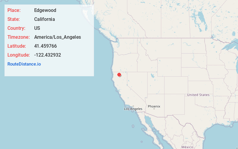
Location Information
-
Full AddressEdgewood, CA 96094
-
Coordinates41.4597662, -122.4329319
-
LocationEdgewood , California , US
-
TimezoneAmerica/Los_Angeles
-
Current Local Time9:26:34 AM America/Los_AngelesThursday, June 19, 2025
-
Page Views0
About Edgewood
Edgewood is a census-designated place in Siskiyou County, California, United States. Its population is 72 as of the 2020 census, up from 43 from the 2010 census. Edgewood is located three miles north of the town of Weed.
Nearby Places
Found 10 places within 50 miles

Weed
3.5 mi
5.6 km
Weed, CA
Get directions

Carrick
3.7 mi
6.0 km
Carrick, CA 96094
Get directions

Gazelle
6.2 mi
10.0 km
Gazelle, CA
Get directions

Mt Shasta
12.1 mi
19.5 km
Mt Shasta, CA 96067
Get directions

Montague
19.2 mi
30.9 km
Montague, CA 96064
Get directions

Dunsmuir
19.3 mi
31.1 km
Dunsmuir, CA
Get directions

McCloud
20.8 mi
33.5 km
McCloud, CA 96057
Get directions

Castella
20.8 mi
33.5 km
Castella, CA
Get directions

Yreka
21.7 mi
34.9 km
Yreka, CA 96097
Get directions

Fort Jones
23.4 mi
37.7 km
Fort Jones, CA 96032
Get directions
Location Links
Local Weather
Weather Information
Coming soon!
Location Map
Static map view of Edgewood, California
Browse Places by Distance
Places within specific distances from Edgewood
Short Distances
Long Distances
Click any distance to see all places within that range from Edgewood. Distances shown in miles (1 mile ≈ 1.61 kilometers).