Distance to Epsom, Minnesota

Calculating Your Route
Just a moment while we process your request...
Location Information
-
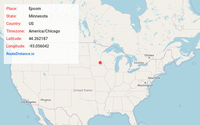
Full AddressEpsom, Richland Township, MN 55946
-
Coordinates44.2621865, -93.0560419
-
LocationRichland Township , Minnesota , US
-
TimezoneAmerica/Chicago
-
Current Local Time9:54:44 AM America/ChicagoMonday, June 23, 2025
-
Page Views0
About Epsom
Epsom is an unincorporated community in Richland Township, Rice County, Minnesota, United States.
The community is located along Rice County Road 26 near its junction with 230th Street East.
State Highway 60 is also in the immediate area. The North Fork of the Zumbro River flows through the community.
Nearby Places
Found 10 places within 50 miles

Kenyon
3.6 mi
5.8 km
Kenyon, MN 55946
Get directions

Moland
4.5 mi
7.2 km
Moland, Merton Township, MN 55946
Get directions
Ruskin
5.2 mi
8.4 km
Ruskin, MN 55021
Get directions

Nerstrand
5.5 mi
8.9 km
Nerstrand, MN 55053
Get directions
Skyberg
7.1 mi
11.4 km
Skyberg, Kenyon Township, MN 55946
Get directions
Nansen
8.6 mi
13.8 km
Nansen, Holden Township, MN 55946
Get directions
Cannon City
9.0 mi
14.5 km
Cannon City, MN 55021
Get directions
Merton
9.2 mi
14.8 km
Merton, MN 55060
Get directions

Dennison
10.0 mi
16.1 km
Dennison, MN 55018
Get directions
Wangs
10.7 mi
17.2 km
Wangs, Warsaw Township, MN 55018
Get directions
Location Links
Local Weather
Weather Information
Coming soon!
Location Map
Static map view of Epsom, Minnesota
Browse Places by Distance
Places within specific distances from Epsom
Short Distances
Long Distances
Click any distance to see all places within that range from Epsom. Distances shown in miles (1 mile ≈ 1.61 kilometers).