Distance to Eve, Missouri

Calculating Your Route
Just a moment while we process your request...
Location Information
-
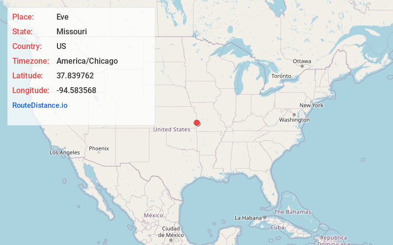
Full AddressEve, Coal Township, MO 64741
-
Coordinates37.8397621, -94.5835683
-
LocationCoal Township , Missouri , US
-
TimezoneAmerica/Chicago
-
Current Local Time10:08:57 AM America/ChicagoTuesday, June 3, 2025
-
Page Views0
Nearby Places
Found 10 places within 50 miles

Deerfield
4.2 mi
6.8 km
Deerfield, MO 64741
Get directions

Richards
4.9 mi
7.9 km
Richards, MO 64778
Get directions

Fort Scott
6.8 mi
10.9 km
Fort Scott, KS 66701
Get directions
Edward
7.3 mi
11.7 km
Edward, Scott Township, KS 66701
Get directions
Godfrey
8.8 mi
14.2 km
Godfrey, Scott Township, KS 66701
Get directions

Moundville
8.9 mi
14.3 km
Moundville, MO 64771
Get directions
Stotesbury
9.3 mi
15.0 km
Stotesbury, MO 64778
Get directions

Bronaugh
11.8 mi
19.0 km
Bronaugh, MO 64728
Get directions

Nevada
12.5 mi
20.1 km
Nevada, MO 64772
Get directions
Ronald
12.5 mi
20.1 km
Ronald, Marmaton Township, KS 66701
Get directions
Location Links
Local Weather
Weather Information
Coming soon!
Location Map
Static map view of Eve, Missouri
Browse Places by Distance
Places within specific distances from Eve
Short Distances
Long Distances
Click any distance to see all places within that range from Eve. Distances shown in miles (1 mile ≈ 1.61 kilometers).