Distance to Fort Berthold Reservation, North Dakota

Calculating Your Route
Just a moment while we process your request...
Location Information
-
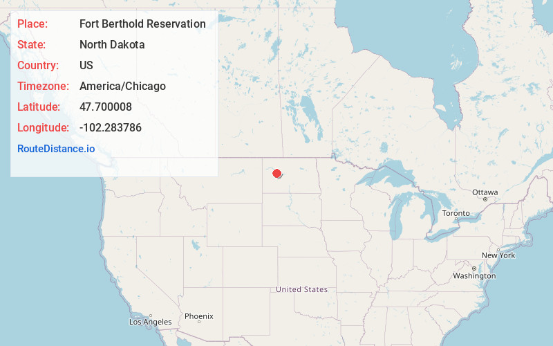
Full AddressFort Berthold Reservation, Beulah, ND
-
Coordinates47.7000081, -102.2837863
-
LocationBeulah , North Dakota , US
-
TimezoneAmerica/Chicago
-
Current Local Time1:30:01 PM America/ChicagoFriday, June 13, 2025
-
Page Views0
About Fort Berthold Reservation
The Fort Berthold Indian Reservation is a U.S. Indian reservation in western North Dakota that is home for the federally recognized Mandan, Hidatsa, and Arikara Nation, also known as the Three Affiliated Tribes. The reservation includes lands on both sides of the Missouri River.


Nearby Places
Found 10 places within 50 miles

Raub
11.6 mi
18.7 km
Raub, ND 58770
Get directions

Twin Buttes
12.8 mi
20.6 km
Twin Buttes, ND 58636
Get directions
Mandaree
18.3 mi
29.5 km
Mandaree, ND 58757
Get directions
Parshall
18.8 mi
30.3 km
Parshall, ND 58770
Get directions
Spotted Horn
19.7 mi
31.7 km
Spotted Horn, ND 58757
Get directions

White Shield
20.6 mi
33.2 km
White Shield, ND
Get directions
Roseglen
21.1 mi
34.0 km
Roseglen, ND 58775
Get directions

New Town
21.6 mi
34.8 km
New Town, ND 58763
Get directions
Sanish
22.5 mi
36.2 km
Sanish, ND 58763
Get directions

Halliday
24.0 mi
38.6 km
Halliday, ND 58636
Get directions
Location Links
Local Weather
Weather Information
Coming soon!
Location Map
Static map view of Fort Berthold Reservation, North Dakota
Browse Places by Distance
Places within specific distances from Fort Berthold Reservation
Short Distances
Long Distances
Click any distance to see all places within that range from Fort Berthold Reservation. Distances shown in miles (1 mile ≈ 1.61 kilometers).