Distance to Gilead, Maine

Calculating Your Route
Just a moment while we process your request...
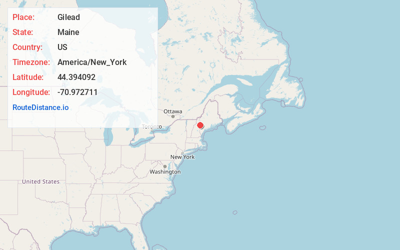
Location Information
-
Full AddressGilead, ME 04217
-
Coordinates44.3940915, -70.9727112
-
LocationGilead , Maine , US
-
TimezoneAmerica/New_York
-
Current Local Time1:48:50 PM America/New_YorkWednesday, June 18, 2025
-
Page Views0
About Gilead
Gilead is a town in Oxford County, Maine, United States. Upon incorporation in 1804, it was named for the large quantity of Balm of Gilead trees in the town center. The population was 195 at the 2020 census.

Nearby Places
Found 10 places within 50 miles

Shelburne
5.1 mi
8.2 km
Shelburne, NH 03581
Get directions

Bethel
9.1 mi
14.6 km
Bethel, ME
Get directions

Gorham
9.9 mi
15.9 km
Gorham, NH 03581
Get directions

Newry
11.2 mi
18.0 km
Newry, ME 04261
Get directions

Berlin
11.7 mi
18.8 km
Berlin, NH
Get directions

Stoneham
12.7 mi
20.4 km
Stoneham, ME 04231
Get directions

Randolph
15.2 mi
24.5 km
Randolph, NH
Get directions
Hanover
15.5 mi
24.9 km
Hanover, ME
Get directions

Chatham
16.0 mi
25.7 km
Chatham, NH 03813
Get directions

Stow
16.1 mi
25.9 km
Stow, ME
Get directions
Location Links
Local Weather
Weather Information
Coming soon!
Location Map
Static map view of Gilead, Maine
Browse Places by Distance
Places within specific distances from Gilead
Short Distances
Long Distances
Click any distance to see all places within that range from Gilead. Distances shown in miles (1 mile ≈ 1.61 kilometers).