Distance to Gillivan, Ohio

Calculating Your Route
Just a moment while we process your request...
Location Information
-
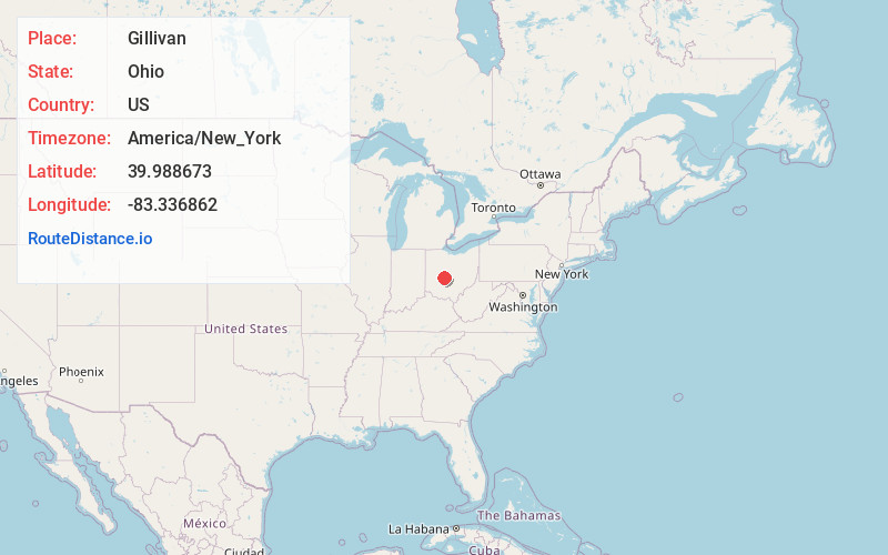
Full AddressGillivan, Jefferson Township, OH 43140
-
Coordinates39.9886726, -83.3368619
-
LocationJefferson Township , Ohio , US
-
TimezoneAmerica/New_York
-
Current Local Time8:39:37 PM America/New_YorkWednesday, July 2, 2025
-
Page Views0
About Gillivan
Gillivan is an unincorporated community in Jefferson Township, Madison County, Ohio, United States. It is located along U.S. Route 42, north of its intersection with Ohio State Route 29.
The community was never actually laid out, but simply formed around a crossroads.
Nearby Places
Found 10 places within 50 miles

Plumwood
4.4 mi
7.1 km
Plumwood, OH 43140
Get directions

West Jefferson
4.7 mi
7.6 km
West Jefferson, OH
Get directions
Lake Darby
6.1 mi
9.8 km
Lake Darby, OH 43119
Get directions

Choctaw Lake
8.1 mi
13.0 km
Choctaw Lake, OH 43140
Get directions
Rosedale
8.8 mi
14.2 km
Rosedale, Pike Township, OH 43029
Get directions

Plain City
9.0 mi
14.5 km
Plain City, OH 43064
Get directions

London
9.2 mi
14.8 km
London, OH 43140
Get directions

Hilliard
9.9 mi
15.9 km
Hilliard, OH
Get directions
Amlin
10.3 mi
16.6 km
Amlin, OH 43016
Get directions

Unionville Center
10.3 mi
16.6 km
Unionville Center, OH
Get directions
Location Links
Local Weather
Weather Information
Coming soon!
Location Map
Static map view of Gillivan, Ohio
Browse Places by Distance
Places within specific distances from Gillivan
Short Distances
Long Distances
Click any distance to see all places within that range from Gillivan. Distances shown in miles (1 mile ≈ 1.61 kilometers).