Distance to Ginseng, Kentucky

Calculating Your Route
Just a moment while we process your request...
Location Information
-
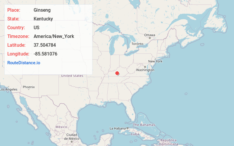
Full AddressGinseng, KY 42748
-
Coordinates37.5047837, -85.5810755
-
LocationKentucky , US
-
TimezoneAmerica/New_York
-
Current Local Time10:29:25 AM America/New_YorkMonday, June 23, 2025
-
Page Views1
About Ginseng
Ginseng is an unincorporated community located in LaRue County, Kentucky, United States. The town was named for the crop ginseng, which was harvested by locals to be sold at market in Elizabethtown, Kentucky. Its post office, opened in 1898 with Charles Merrill as its postmaster was closed in 1957.

Nearby Places
Found 10 places within 50 miles

Stiles
2.4 mi
3.9 km
Stiles, KY 40051
Get directions
Hibernia
3.4 mi
5.5 km
Hibernia, KY 42716
Get directions
Wards
3.5 mi
5.6 km
Wards, KY 42764
Get directions
Badger
4.4 mi
7.1 km
Badger, KY 42718
Get directions
Gleanings
4.5 mi
7.2 km
Gleanings, KY 40052
Get directions
Howardstown
4.7 mi
7.6 km
Howardstown, KY 40051
Get directions
Maple
5.2 mi
8.4 km
Maple, KY 42718
Get directions
Mt Sherman
6.0 mi
9.7 km
Mt Sherman, KY
Get directions
Leafdale
6.1 mi
9.8 km
Leafdale, KY 42748
Get directions
Buffalo
6.5 mi
10.5 km
Buffalo, KY
Get directions
Location Links
Local Weather
Weather Information
Coming soon!
Location Map
Static map view of Ginseng, Kentucky
Browse Places by Distance
Places within specific distances from Ginseng
Short Distances
Long Distances
Click any distance to see all places within that range from Ginseng. Distances shown in miles (1 mile ≈ 1.61 kilometers).