Distance to Gore, Missouri

Calculating Your Route
Just a moment while we process your request...
Location Information
-
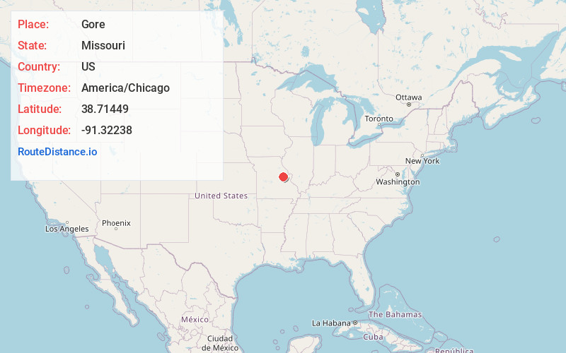
Full AddressGore, Bridgeport Township, MO 63357
-
Coordinates38.7144904, -91.3223799
-
LocationBridgeport Township , Missouri , US
-
TimezoneAmerica/Chicago
-
Current Local Time9:55:06 PM America/ChicagoWednesday, June 25, 2025
-
Page Views0
About Gore
Gore is an unincorporated community in southwest Warren County, in the U.S. state of Missouri. The community lies on the north edge of the Missouri River Valley. Missouri Route 94 passes just north of the community and the Katy Trail passes the location.
Nearby Places
Found 10 places within 50 miles

Berger
2.9 mi
4.7 km
Berger, MO 63014
Get directions
Pinckney
5.4 mi
8.7 km
Pinckney, MO 63357
Get directions

Hermann
6.3 mi
10.1 km
Hermann, MO 65041
Get directions
McKittrick
6.7 mi
10.8 km
McKittrick, MO 65041
Get directions
Kohl City
8.3 mi
13.4 km
Kohl City, MO 63014
Get directions

Treloar
8.7 mi
14.0 km
Treloar, MO 63357
Get directions
Pendleton
9.1 mi
14.6 km
Pendleton, MO 63383
Get directions
Holstein
9.1 mi
14.6 km
Holstein, Charrette Township, MO 63357
Get directions

New Haven
9.2 mi
14.8 km
New Haven, MO 63068
Get directions
Aspenhoff
9.3 mi
15.0 km
Aspenhoff, MO 63357
Get directions
Location Links
Local Weather
Weather Information
Coming soon!
Location Map
Static map view of Gore, Missouri
Browse Places by Distance
Places within specific distances from Gore
Short Distances
Long Distances
Click any distance to see all places within that range from Gore. Distances shown in miles (1 mile ≈ 1.61 kilometers).