Distance to Gragg, North Carolina

Calculating Your Route
Just a moment while we process your request...
Location Information
-
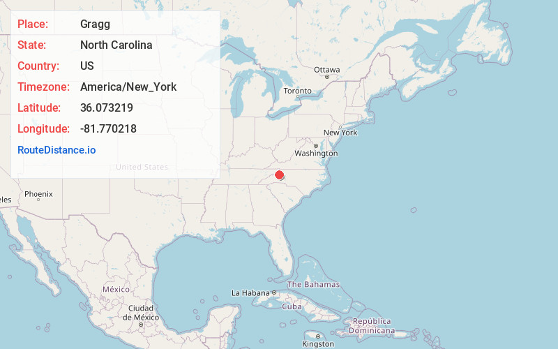
Full AddressGragg, NC 28605
-
Coordinates36.073219, -81.770218
-
LocationGragg , North Carolina , US
-
TimezoneAmerica/New_York
-
Current Local Time8:09:20 AM America/New_YorkFriday, June 20, 2025
-
Page Views0
About Gragg
Gragg is an unincorporated community in Avery County, North Carolina, United States, spanning approximately one-half mile in radius from the intersection of Edgemont Road and Globe Road. Gragg can be accessed from US 221 via mile marker #305 on the Blue Ridge Parkway. The area was originally known as "'Carey's Flat'".

Nearby Places
Found 10 places within 50 miles

Linville
5.6 mi
9.0 km
Linville, NC
Get directions

Seven Devils
5.8 mi
9.3 km
Seven Devils, NC 28604
Get directions

Foscoe
6.1 mi
9.8 km
Foscoe, NC
Get directions

Norwood Hollow
6.1 mi
9.8 km
Norwood Hollow, NC 28604
Get directions

Sugar Mountain
6.3 mi
10.1 km
Sugar Mountain, NC
Get directions

Blowing Rock
6.7 mi
10.8 km
Blowing Rock, NC
Get directions
Bailey Camp
7.3 mi
11.7 km
Bailey Camp, NC 28645
Get directions
Montezuma
7.4 mi
11.9 km
Montezuma, NC 28657
Get directions

Pineola
7.4 mi
11.9 km
Pineola, NC 28657
Get directions

Banner Elk
8.4 mi
13.5 km
Banner Elk, NC 28604
Get directions
Location Links
Local Weather
Weather Information
Coming soon!
Location Map
Static map view of Gragg, North Carolina
Browse Places by Distance
Places within specific distances from Gragg
Short Distances
Long Distances
Click any distance to see all places within that range from Gragg. Distances shown in miles (1 mile ≈ 1.61 kilometers).