Distance to Grangertown, Kentucky

Calculating Your Route
Just a moment while we process your request...
Location Information
-
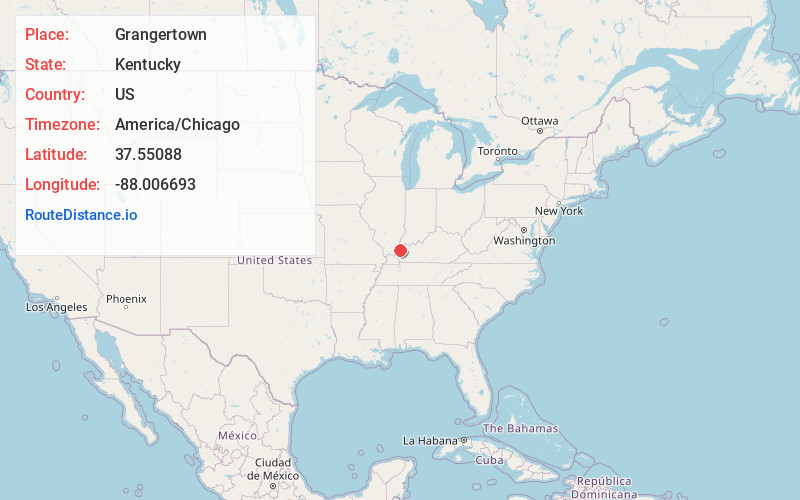
Full AddressGrangertown, KY 42459
-
Coordinates37.5508803, -88.0066929
-
LocationKentucky , US
-
TimezoneAmerica/Chicago
-
Current Local Time4:14:40 AM America/ChicagoThursday, June 5, 2025
-
Page Views0
Nearby Places
Found 10 places within 50 miles

Sturgis
1.3 mi
2.1 km
Sturgis, KY 42459
Get directions

Dekoven
4.0 mi
6.4 km
Dekoven, KY 42459
Get directions
Sullivan
5.0 mi
8.0 km
Sullivan, KY 42459
Get directions
Pride
6.4 mi
10.3 km
Pride, KY 42437
Get directions
Weston
6.5 mi
10.5 km
Weston, KY 42064
Get directions
Lamb
6.6 mi
10.6 km
Lamb, IL 62919
Get directions
Saline Landing
6.9 mi
11.1 km
Saline Landing, Rock Precinct, IL 62919
Get directions
Derby
8.5 mi
13.7 km
Derby, KY 42404
Get directions
West Wheatcroft
8.6 mi
13.8 km
West Wheatcroft, KY 42404
Get directions
Virginia
8.7 mi
14.0 km
Virginia, KY 42404
Get directions
Location Links
Local Weather
Weather Information
Coming soon!
Location Map
Static map view of Grangertown, Kentucky
Browse Places by Distance
Places within specific distances from Grangertown
Short Distances
Long Distances
Click any distance to see all places within that range from Grangertown. Distances shown in miles (1 mile ≈ 1.61 kilometers).