Distance to Weston, Kentucky

Calculating Your Route
Just a moment while we process your request...
Location Information
-
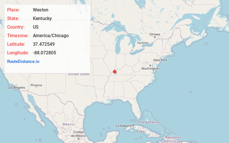
Full AddressWeston, KY 42064
-
Coordinates37.472549, -88.0728047
-
LocationWeston , Kentucky , US
-
TimezoneAmerica/Chicago
-
Current Local Time9:28:40 AM America/ChicagoMonday, June 23, 2025
-
Page Views0
About Weston
Weston is an unincorporated community in Crittenden County, Kentucky, United States.
Weston was incorporated in 1868, and became a shipping point on the Ohio River. Its post office closed in 1916.
Nearby Places
Found 10 places within 50 miles

Lamb
5.0 mi
8.0 km
Lamb, IL 62919
Get directions

Cave-In-Rock
5.1 mi
8.2 km
Cave-In-Rock, IL 62919
Get directions
Nunn
6.4 mi
10.3 km
Nunn, KY 42064
Get directions
Dekoven
7.1 mi
11.4 km
Dekoven, KY 42459
Get directions

Sturgis
7.1 mi
11.4 km
Sturgis, KY 42459
Get directions
Sullivan
7.2 mi
11.6 km
Sullivan, KY 42459
Get directions
Saline Landing
7.4 mi
11.9 km
Saline Landing, Rock Precinct, IL 62919
Get directions
Peters Creek
9.3 mi
15.0 km
Peters Creek, McFarlan Precinct, IL 62931
Get directions
Derby
9.4 mi
15.1 km
Derby, KY 42404
Get directions

Marion
9.7 mi
15.6 km
Marion, KY 42064
Get directions
Location Links
Local Weather
Weather Information
Coming soon!
Location Map
Static map view of Weston, Kentucky
Browse Places by Distance
Places within specific distances from Weston
Short Distances
Long Distances
Click any distance to see all places within that range from Weston. Distances shown in miles (1 mile ≈ 1.61 kilometers).