Distance to Hammon, Oklahoma

Calculating Your Route
Just a moment while we process your request...
Location Information
-
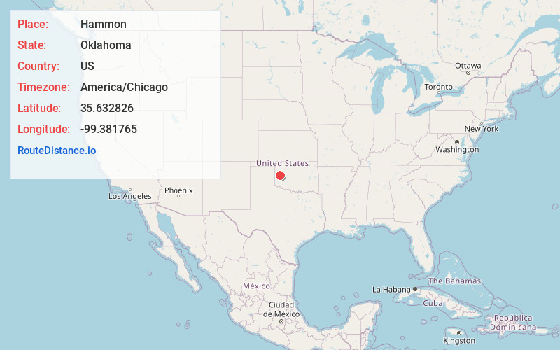
Full AddressHammon, OK 73650
-
Coordinates35.6328261, -99.3817653
-
LocationHammon , Oklahoma , US
-
TimezoneAmerica/Chicago
-
Current Local Time8:51:38 AM America/ChicagoWednesday, June 18, 2025
-
Page Views0
About Hammon
Hammon is a town in the U.S. state of Oklahoma, the majority of which is in Roger Mills County, but some of which extends into Custer County. It is located at the junction of Oklahoma State Highways 33 and 34.
Nearby Places
Found 10 places within 50 miles

Elk City
15.3 mi
24.6 km
Elk City, OK
Get directions

Canute
15.7 mi
25.3 km
Canute, OK 73626
Get directions

Cheyenne
16.3 mi
26.2 km
Cheyenne, OK 73628
Get directions

Leedey
16.5 mi
26.6 km
Leedey, OK 73654
Get directions

Burns Flat
22.9 mi
36.9 km
Burns Flat, OK 73647
Get directions

Arapaho
23.7 mi
38.1 km
Arapaho, OK 73620
Get directions

Clinton
24.7 mi
39.8 km
Clinton, OK
Get directions

Sayre
27.7 mi
44.6 km
Sayre, OK 73662
Get directions

Custer City
28.1 mi
45.2 km
Custer City, OK 73639
Get directions

New Cordell
32.4 mi
52.1 km
New Cordell, OK 73632
Get directions
Location Links
Local Weather
Weather Information
Coming soon!
Location Map
Static map view of Hammon, Oklahoma
Browse Places by Distance
Places within specific distances from Hammon
Short Distances
Long Distances
Click any distance to see all places within that range from Hammon. Distances shown in miles (1 mile ≈ 1.61 kilometers).